Peninsula Campground, Folsom SRA

Yellow wildflowers on Folsom Lake, May 2024

There are two campgrounds named ‘Peninsula Campground’ in Northern California.

Most locals probably know about the privately owned campground near Rollins Lake. They are somewhat infamous on Yelp.

This review is about the other, perhaps lesser known Peninsula Campground– the government-owned Peninsula Campground, which is part of Folsom Lake SRA (State Recreation Area).

Peninsula behind the Ravine as seen from the Oaks Nature Trail

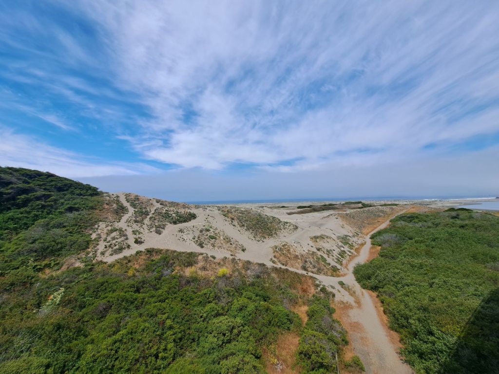
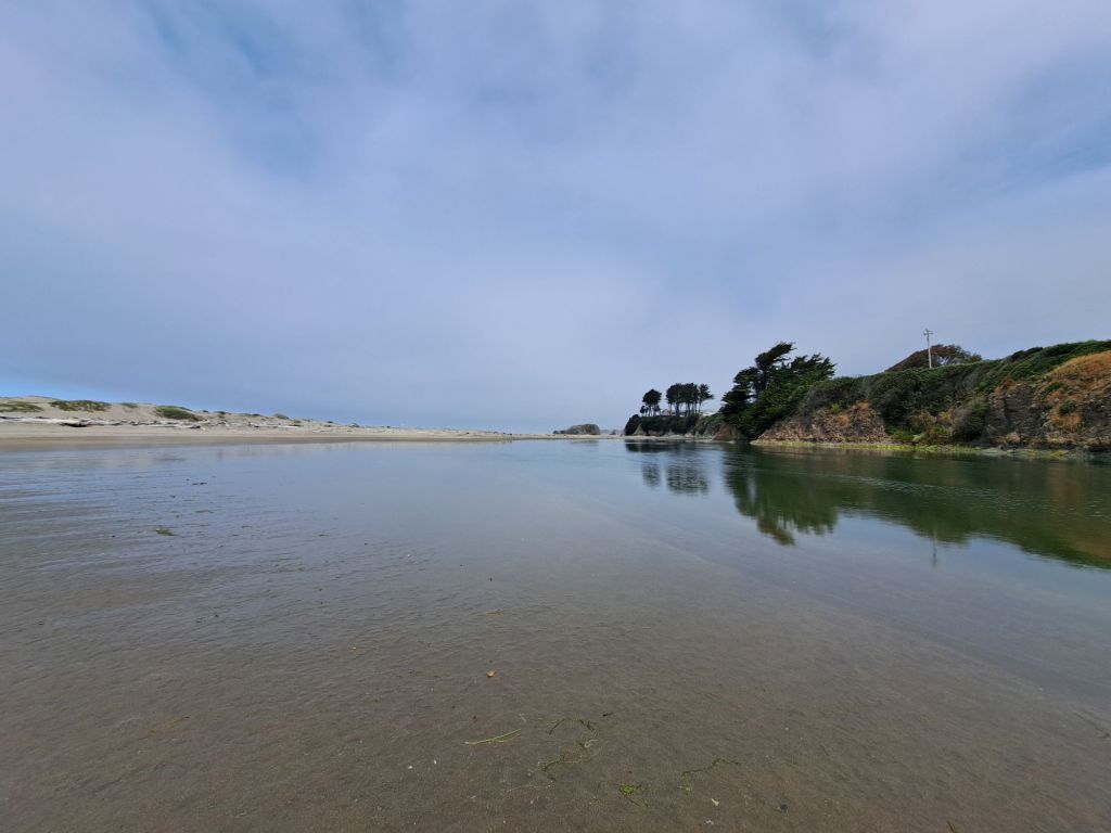
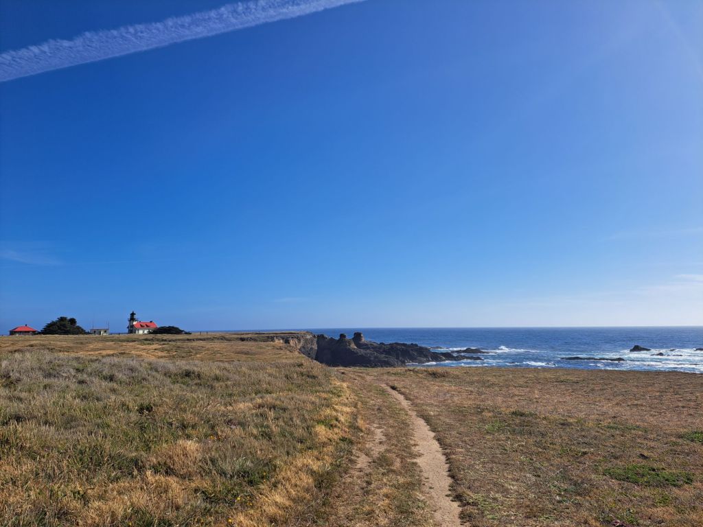
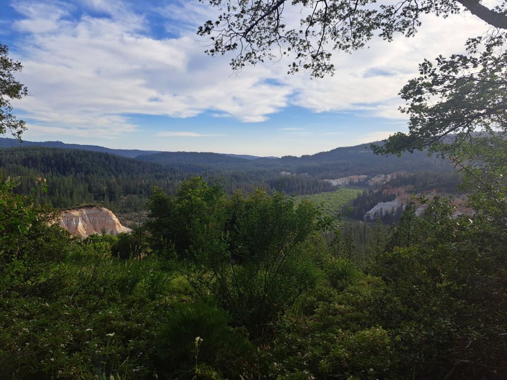
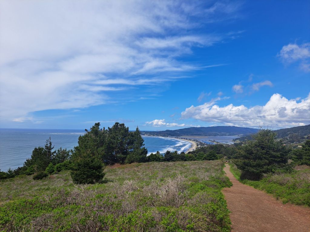
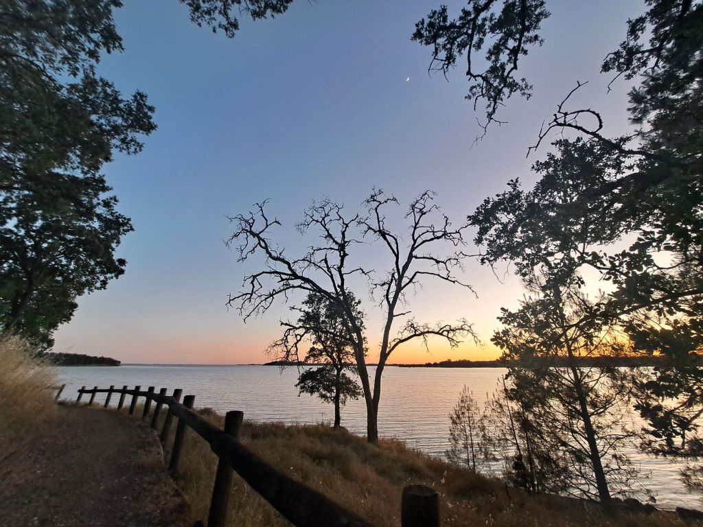
It’s located adjacent to a prominent peninsula on Folsom Lake, which is actually closer to Pilot Hill than to Folsom.

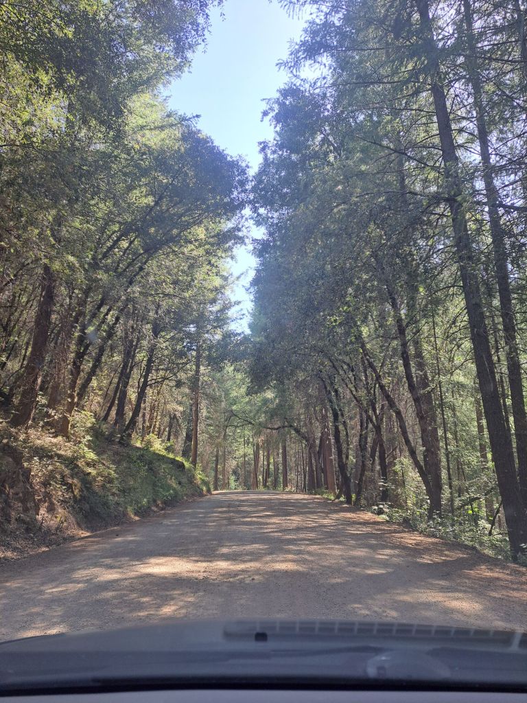
Driving from Folsom, the directions to Peninsula are fairly straightforward. Take Salmon Falls Road all the way to where it ends at Rattlesnake Bar, and then take Rattlesnake Bar all the way to its end at the campground.

Geese with goslings in Folsom Lake

From a boat, it’s even faster– my friends said it only took them a few minutes to boat to me from Beals Point, but the drive takes nearly an hour.

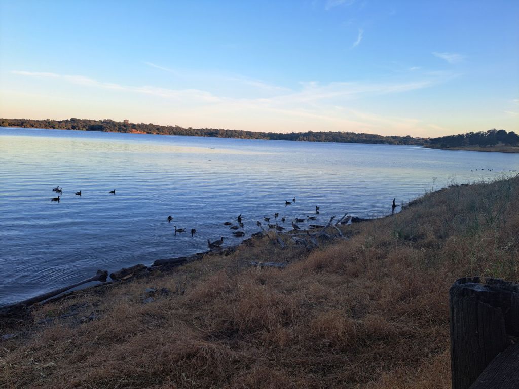
There are two boat ramps at Peninsula: one in the day use area, and one in the campground area (for registered campers only). Both are listed on Google maps.

Oaks Nature Trail and Folsom Lake

Registration at Peninsula has been the easiest of any campground I’ve stayed at so far. Trips that are at least two days out can be reserved online.

If there is space in the campground, then same-day camping is permissable.

Blooming buckeye on Oaks Nature Trail

I find it easiest to register with the camp hosts at the kiosk, but there are also self-service envelopes for those who arrive after hours.

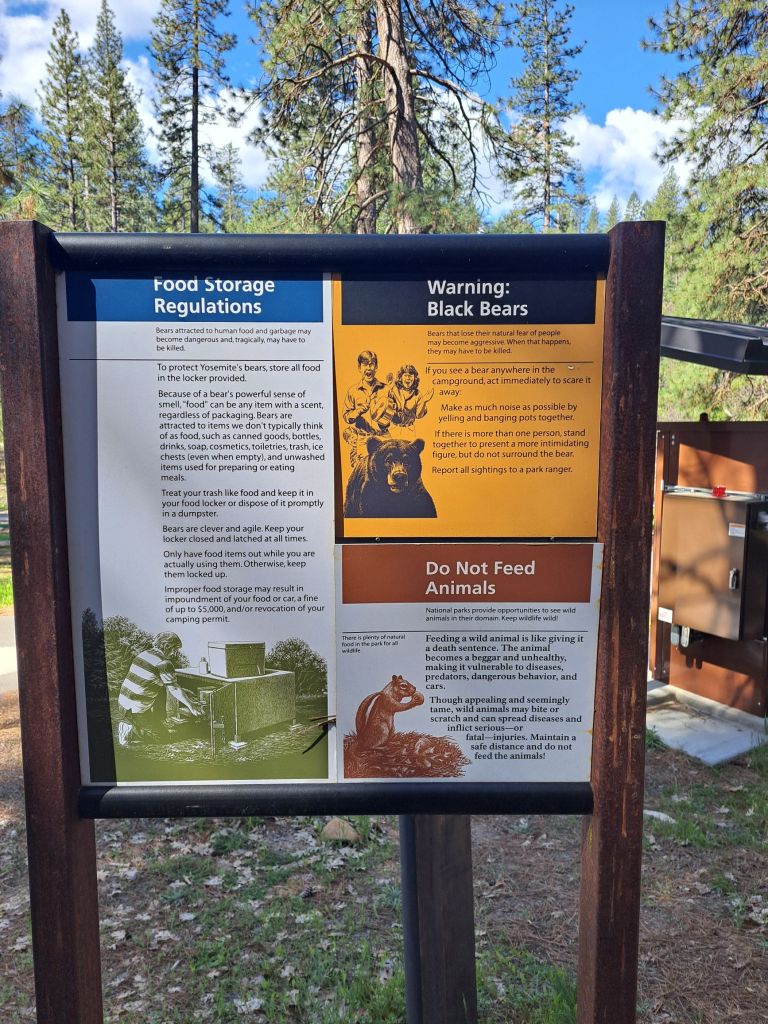
Park rangers patrol the campground at all hours. They are not strict about noise, but they are super strict about smoking and drinking outside of the campsites.

The Oaks Nature Trail at Sunset

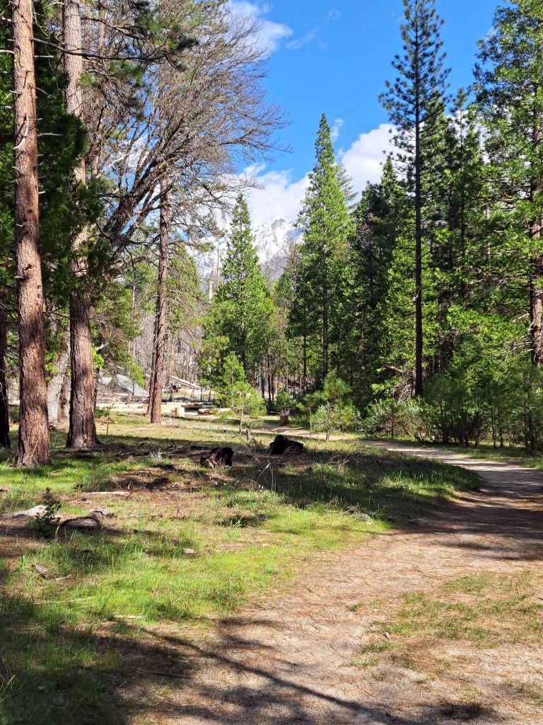
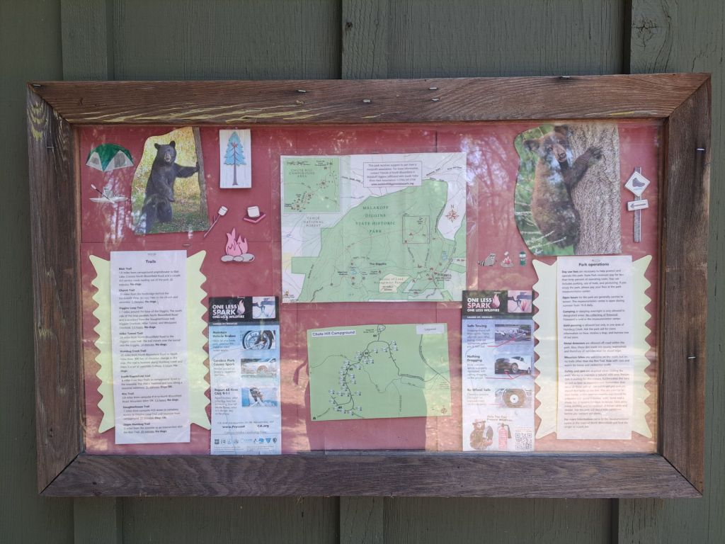
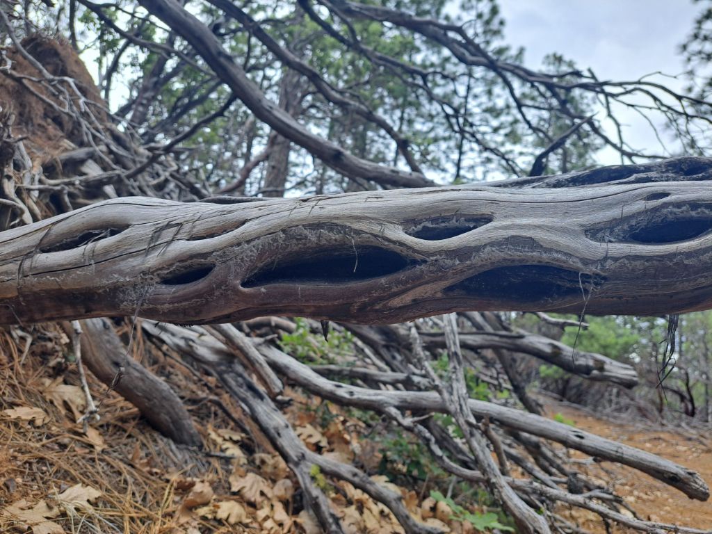
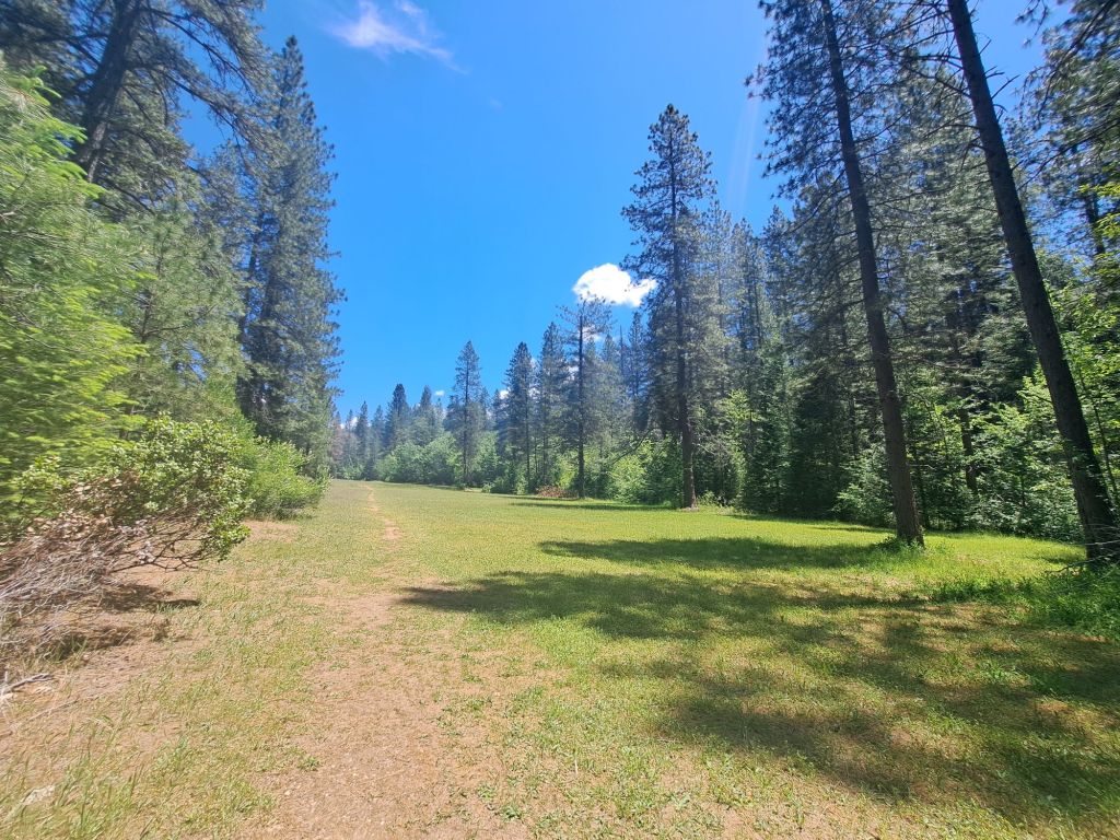
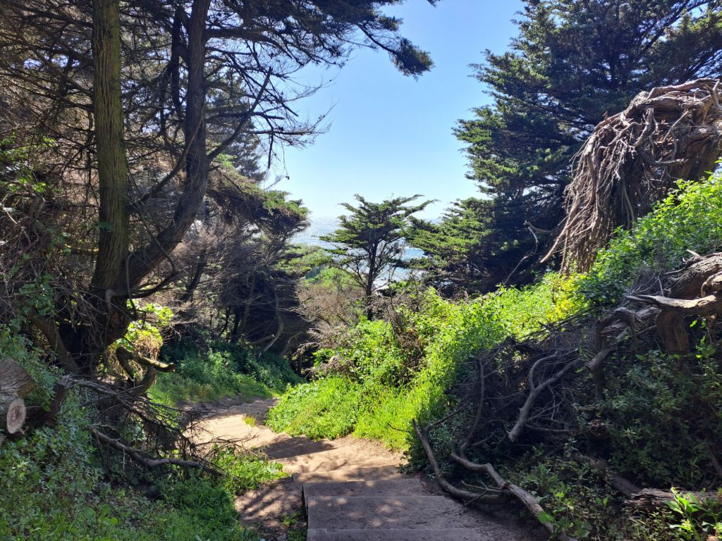
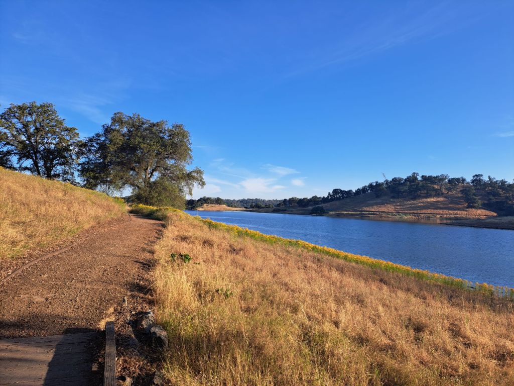
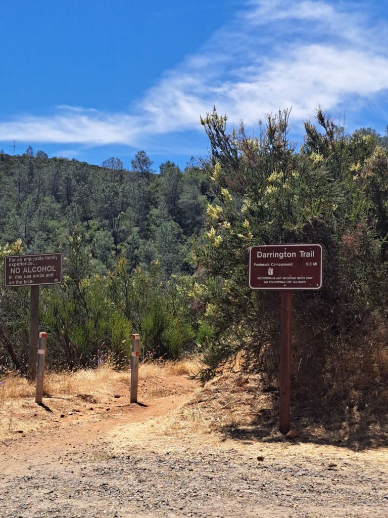
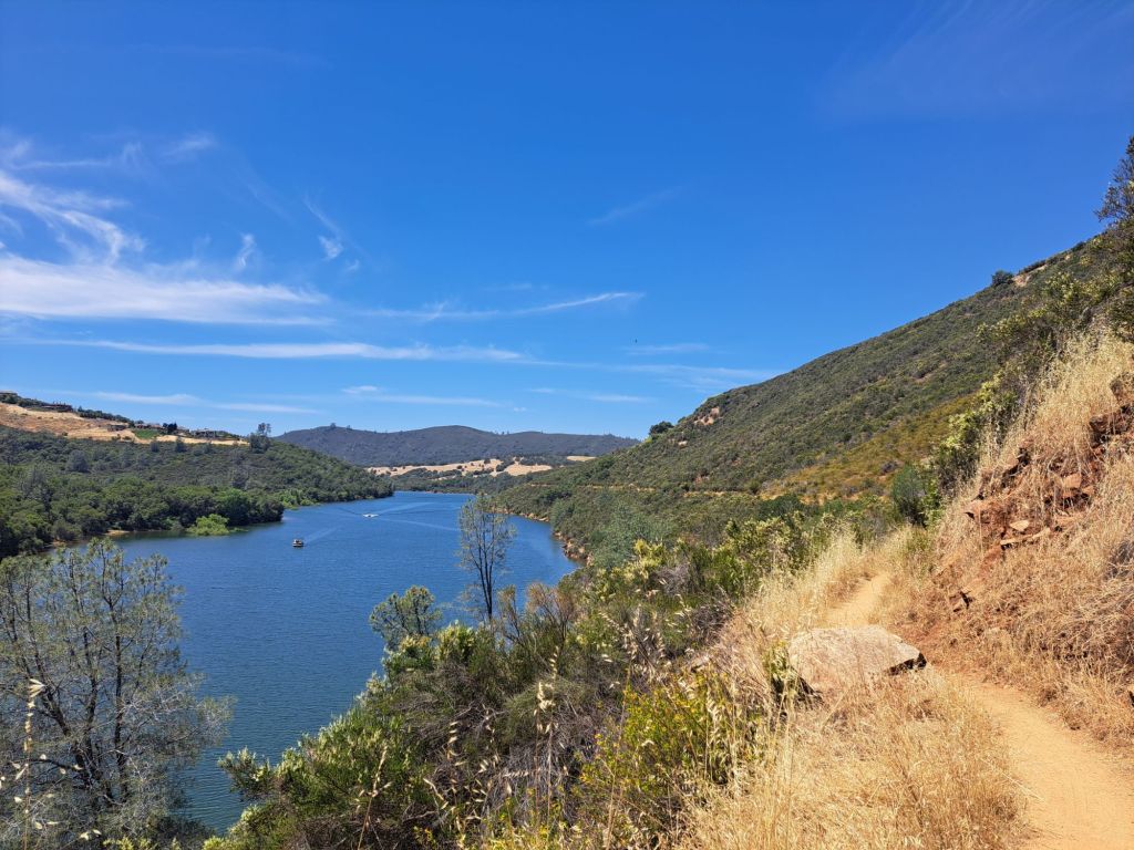
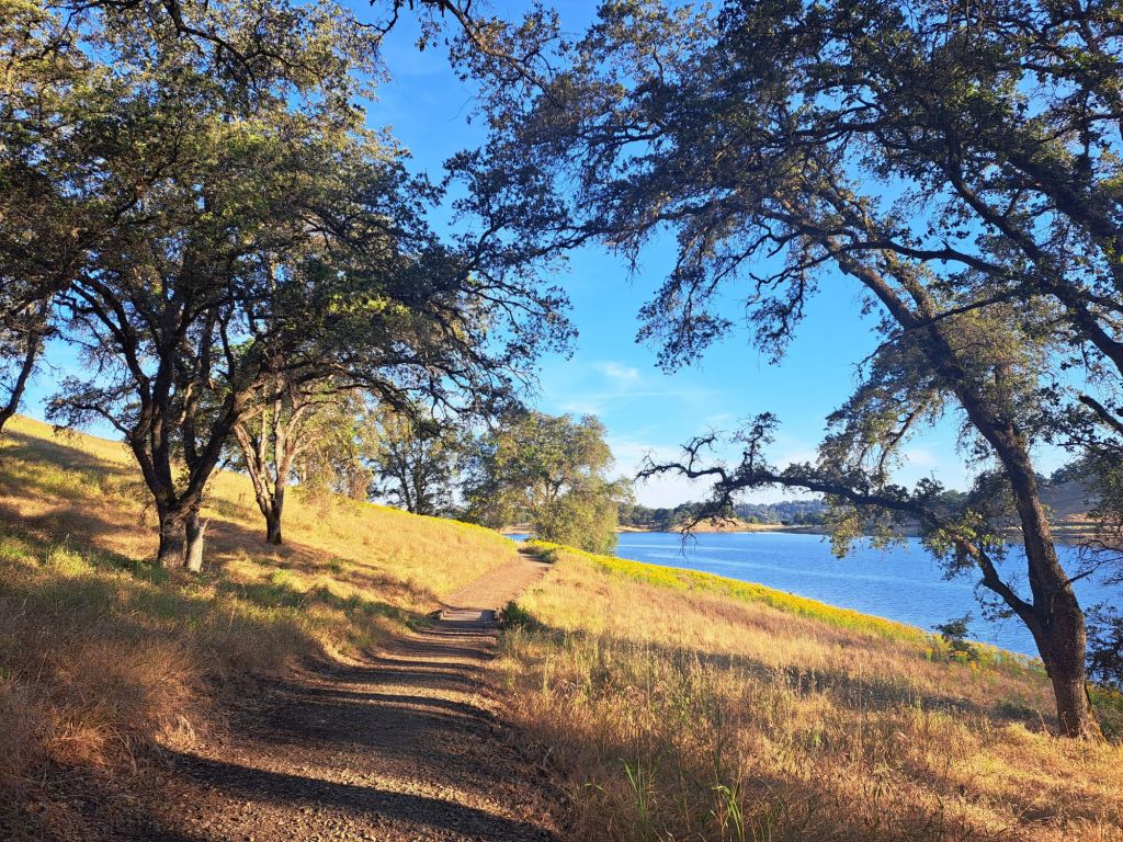
Great hiking trails in or near the campground include Oaks Nature Trail, Darrington, and Salmon Falls.

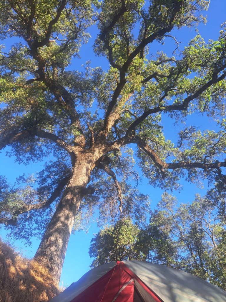
The Oaks Nature Trail is only one mile long, and is located entirely within the campground. It’s mostly shaded, and follows the outer edge of the peninsula through oak woods.

A very, very old oak tree seen from the Oaks Nature Trail

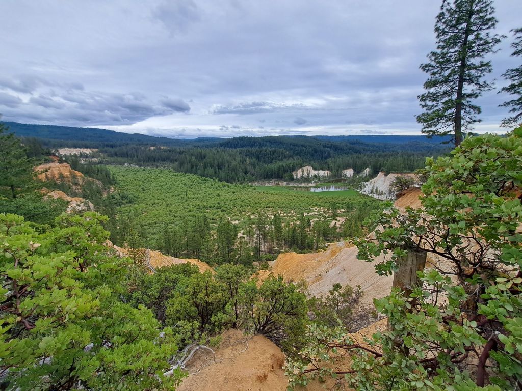
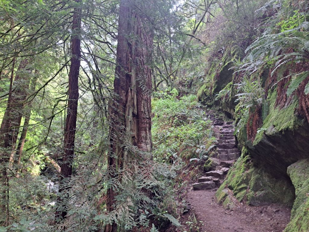
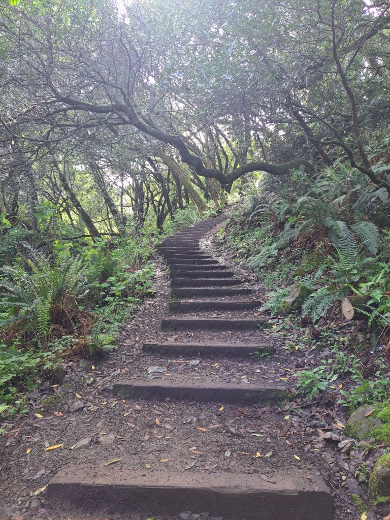
Several longer, better hikes are just a short drive away, down Salmon Falls Road.

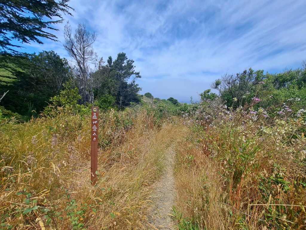
Darrington Trail can technically be accessed from the campground, just across from the kiosk.

Blue trail marker on overgrown side of Darrington Trail

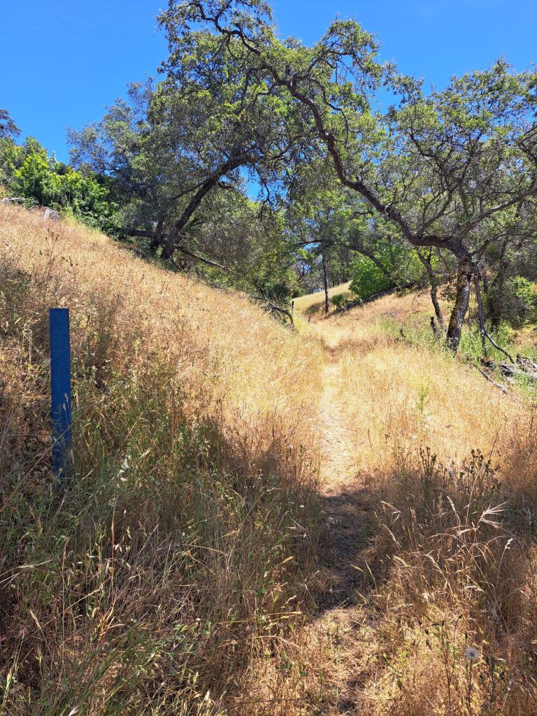
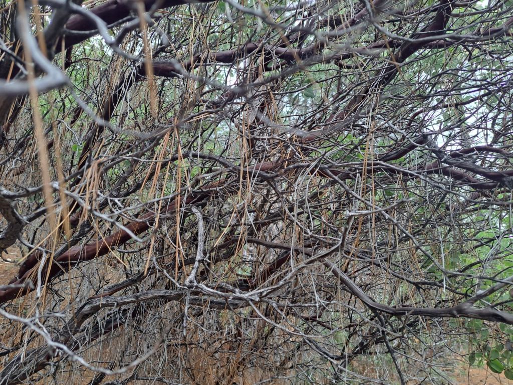
However, this side of the trail is wildly overgrown with tall grass, and is chalk full of ticks and rattlesnakes.

Rocks that look like they may be the ruins of a gold miner’s cabin

Most of the time, it’s practically impossible to tell if/when you’re stepping on some kind of nest.

Tall, unkempt grass on Darrington Trail

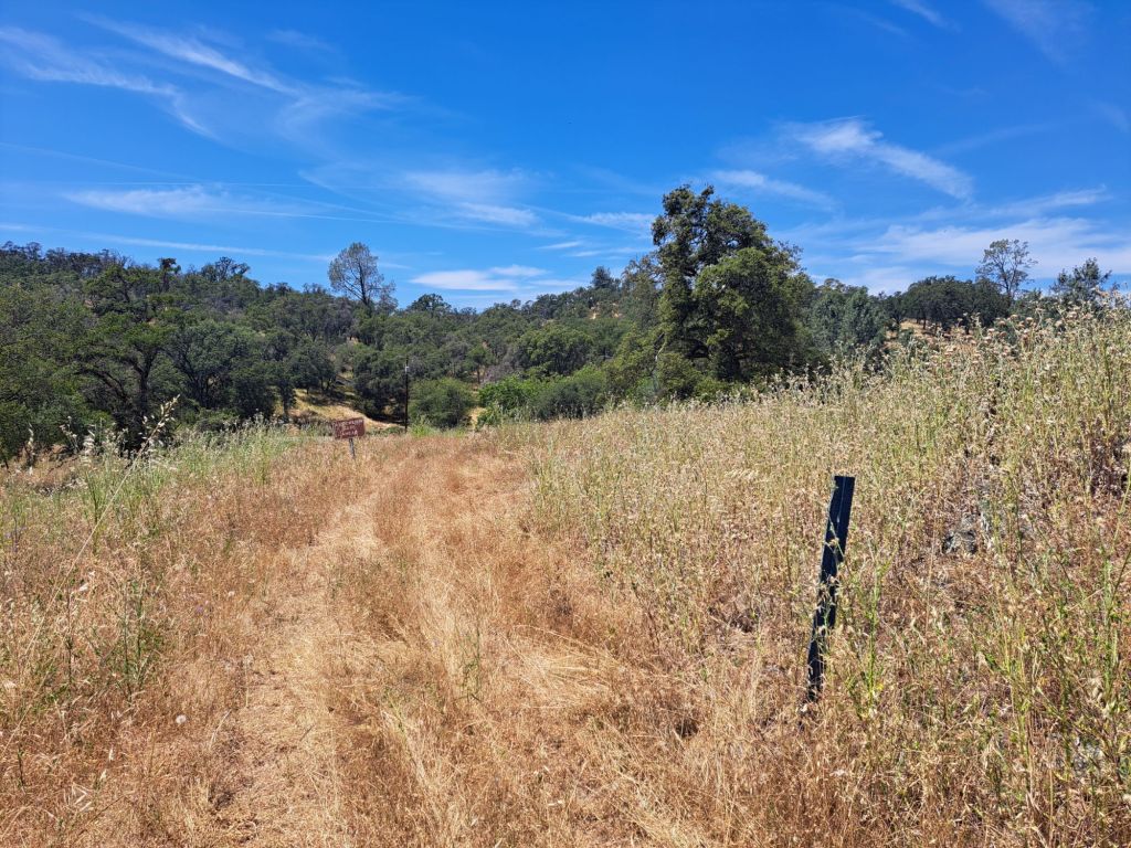
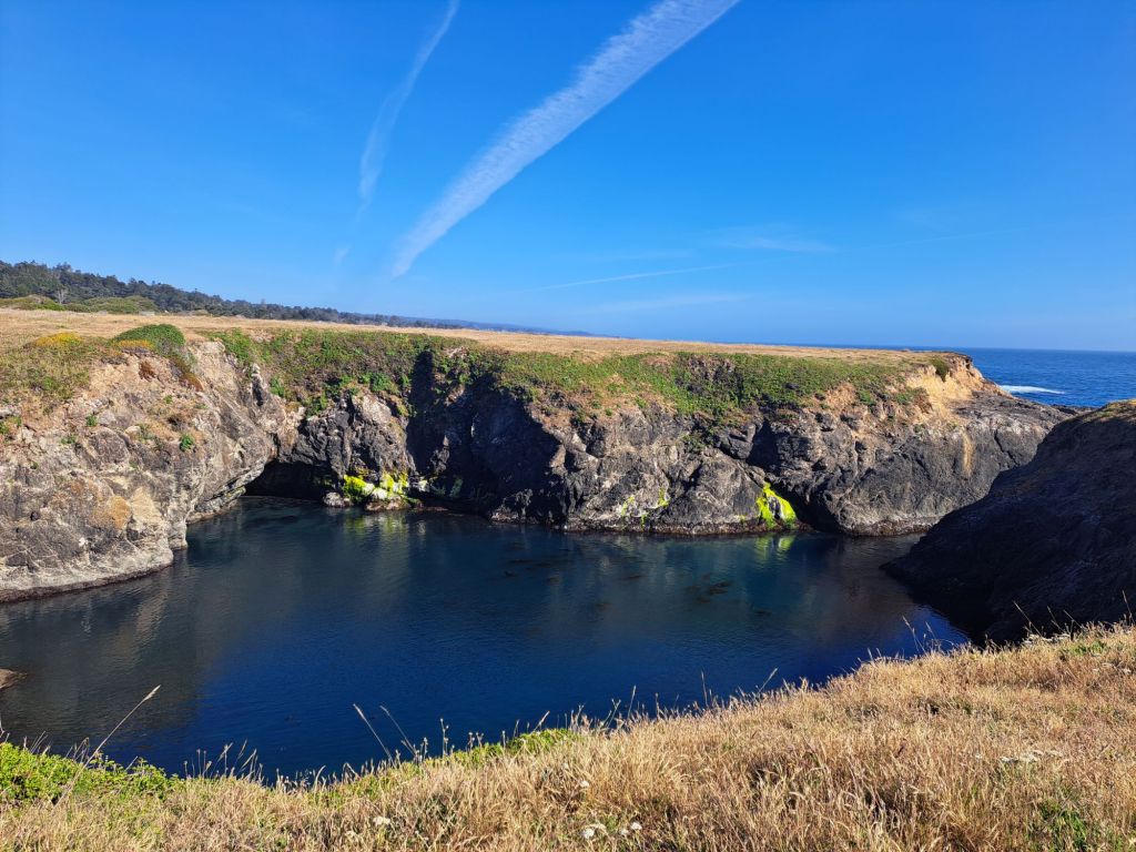
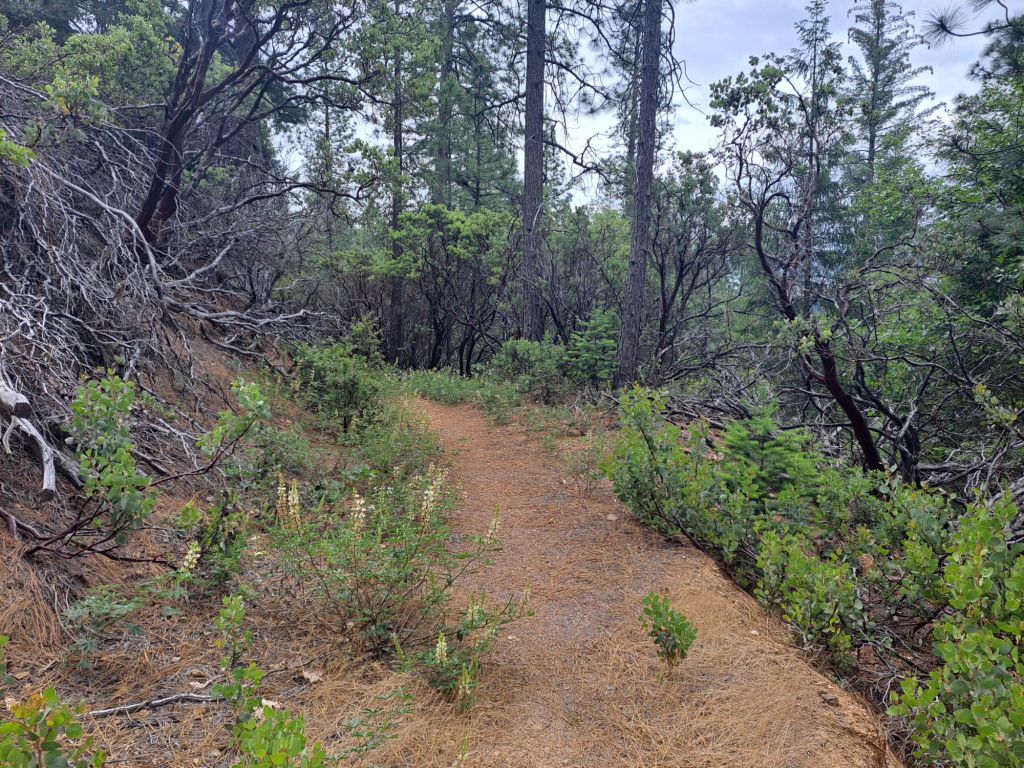
So, if you’re able to, and if you’re not dead set on hiking the entire 8 miles, I would suggest taking Darrington from the other entrance, which is located down Salmon Falls Road.

This side is much more nicely maintained, is more shaded, and has better views of the lake.

Darrington Trail head at Salmon Falls Road entrance

Camping fees at Peninsula include day use parking at any California state park. Just make sure your pass is visible in your window before you leave your car.

The Salmon Falls Road entrance for Darrington is also close to several other great hiking trails, including the South Fork American River trail, which is one of my favorites in the area.

Darrington Trail

I only had time to hike the first few miles of Darrington, but I loved it. I definitely want to come back to finish it when the weather is cooler.

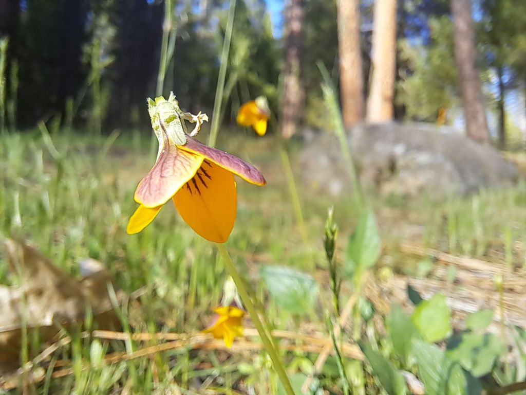
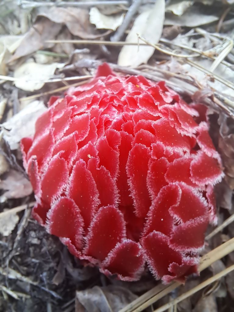
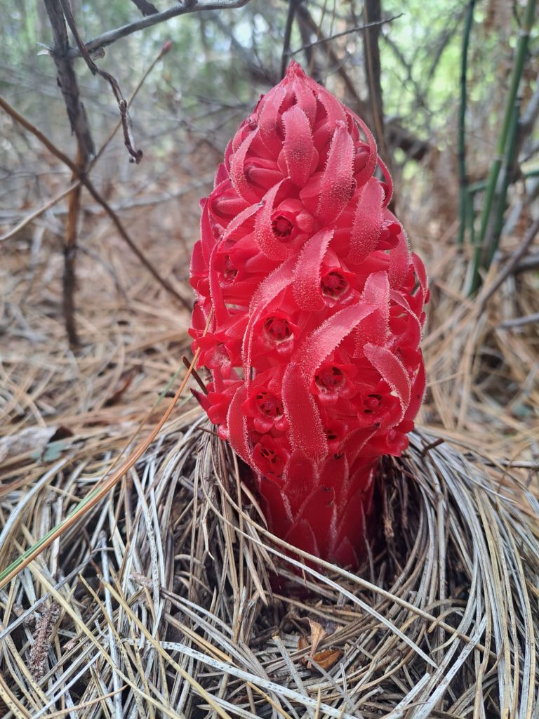
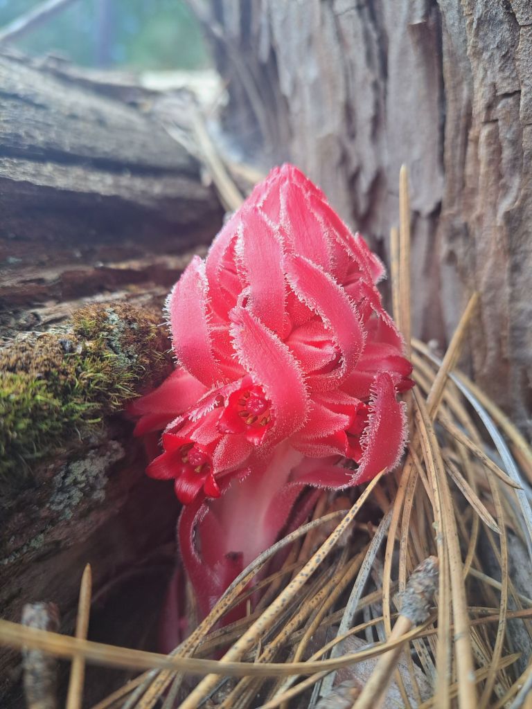
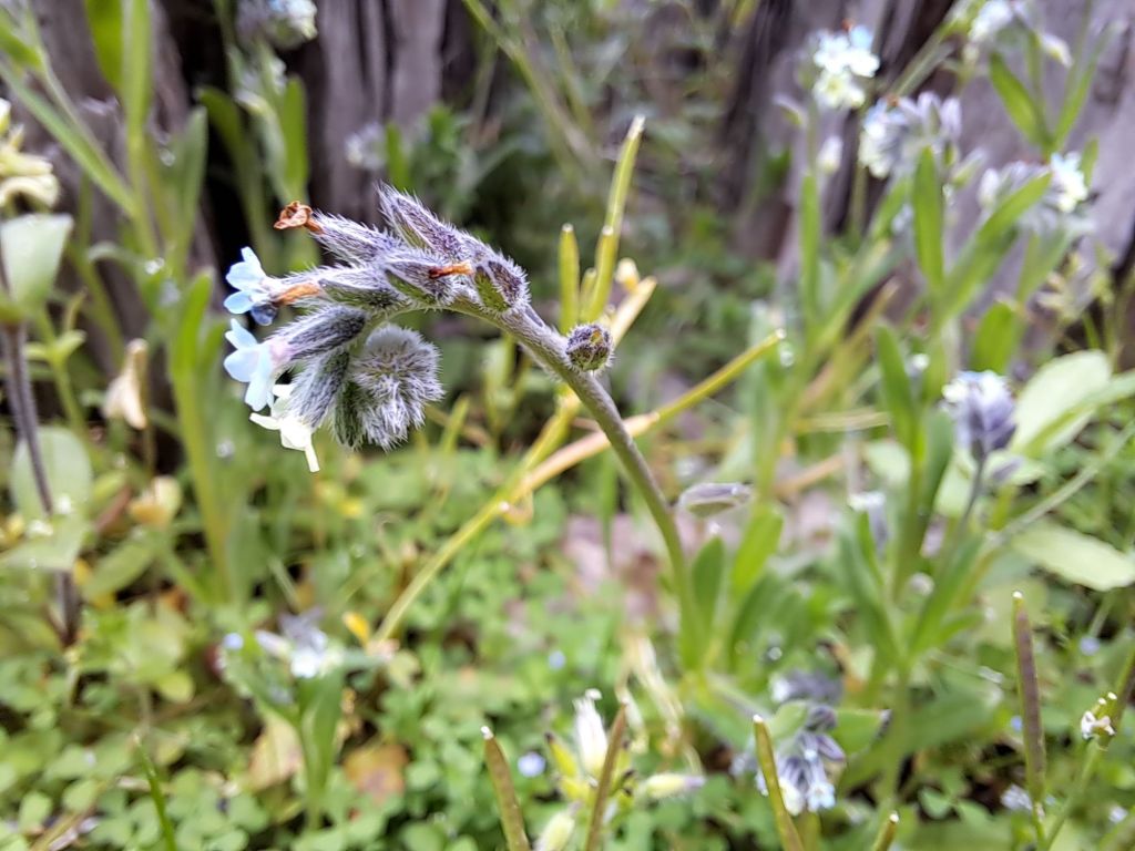
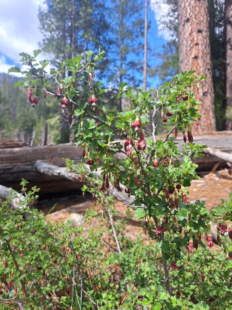
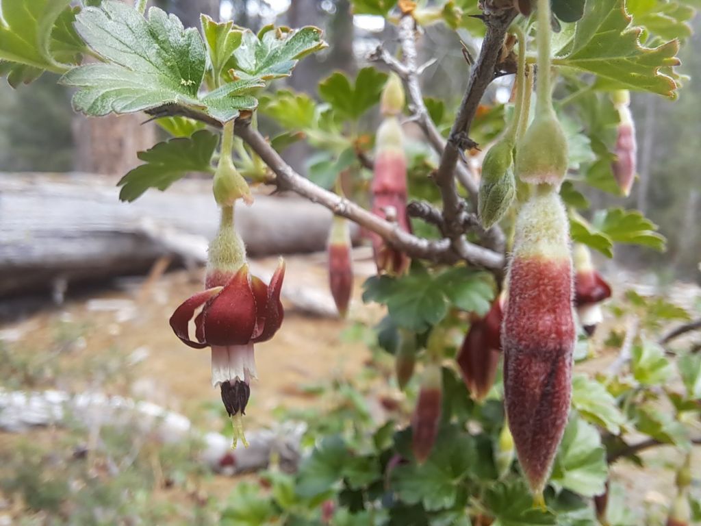
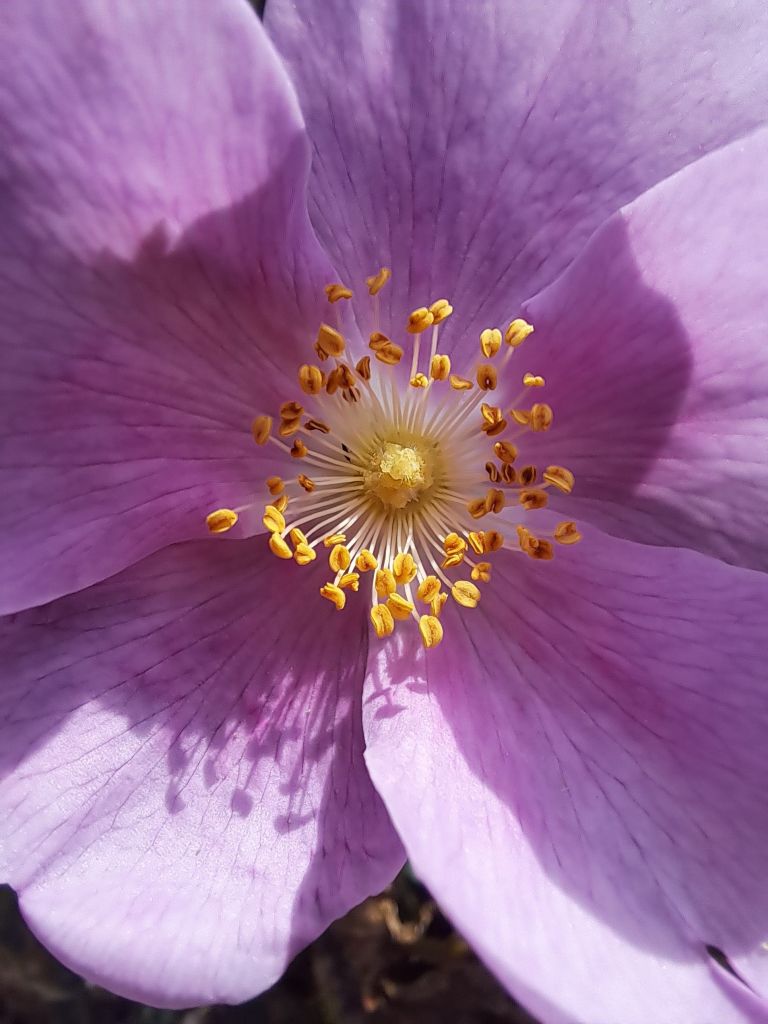
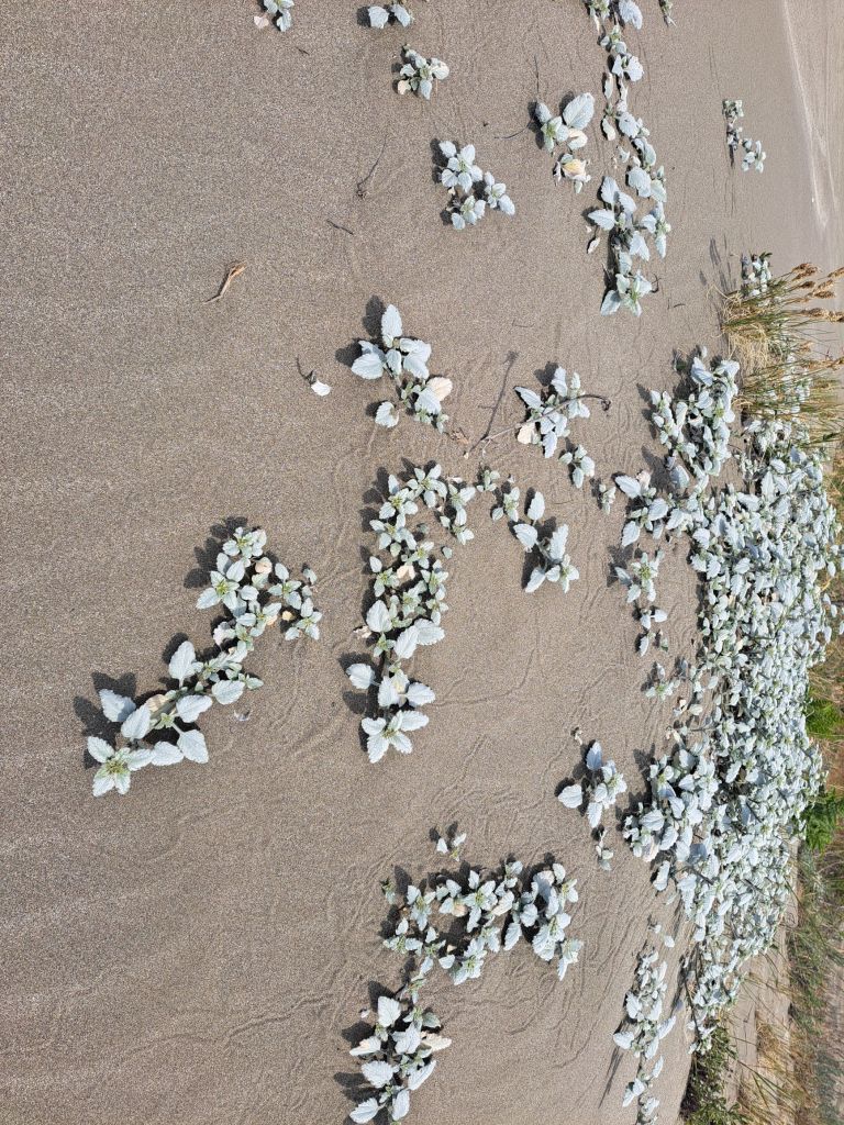
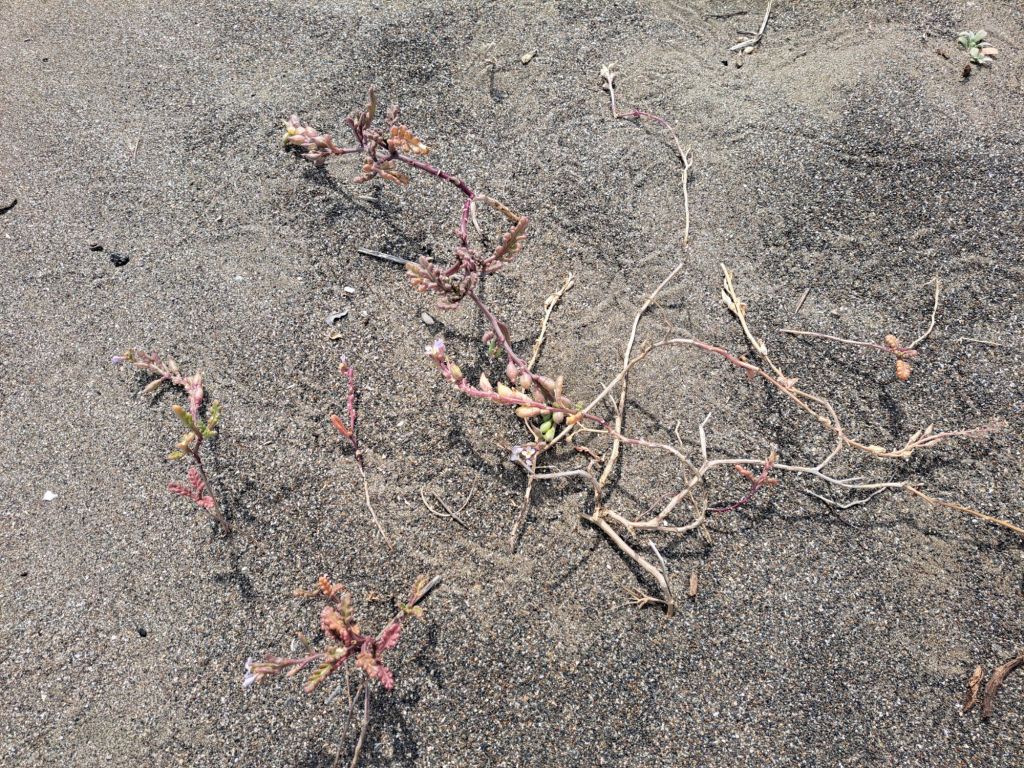
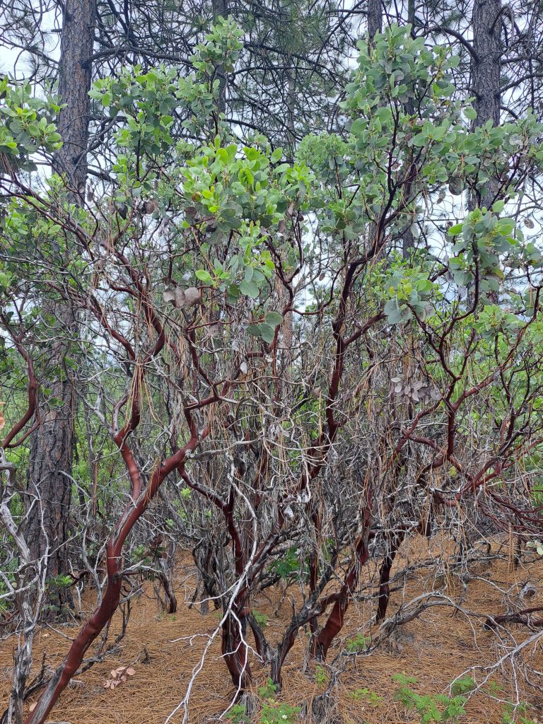
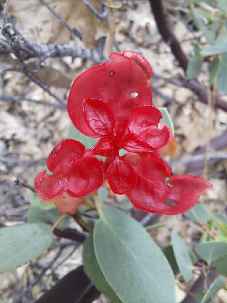
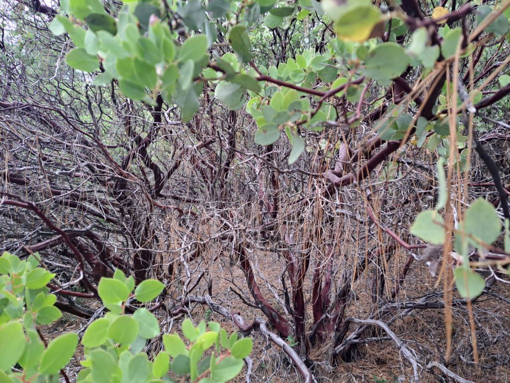
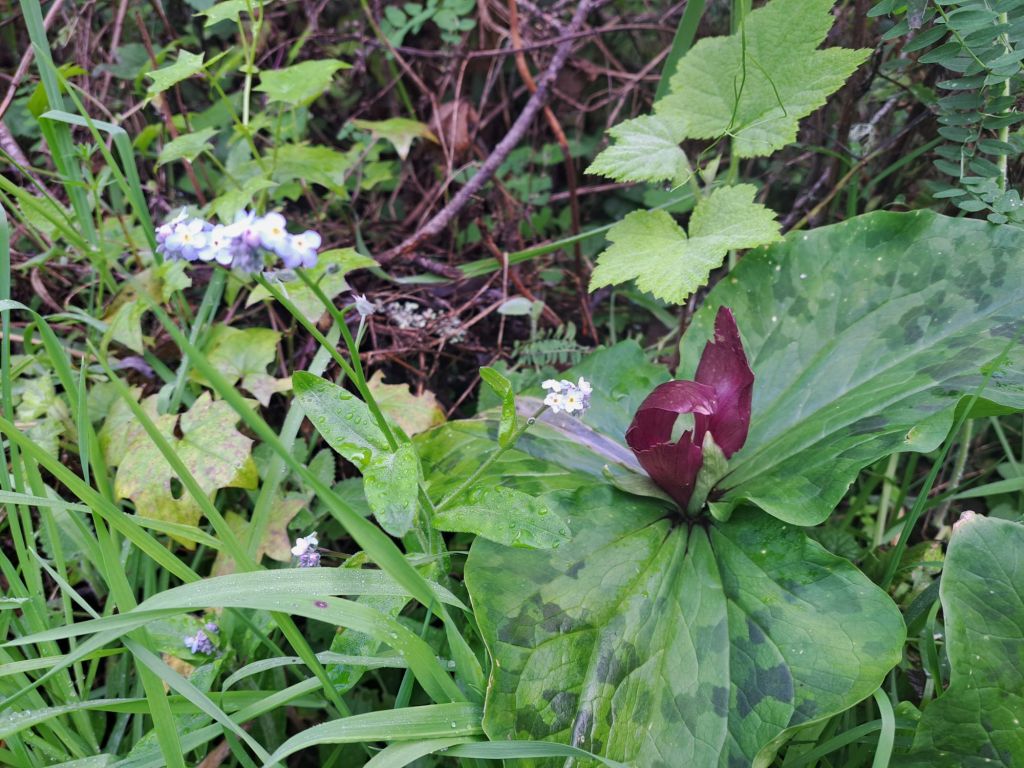
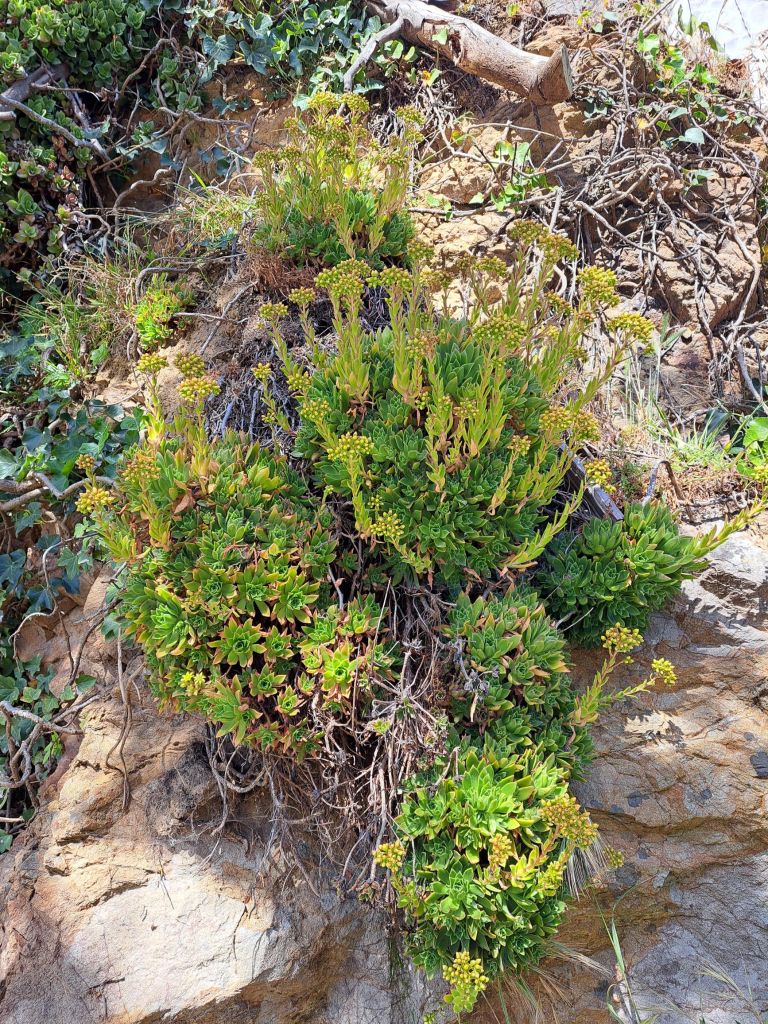
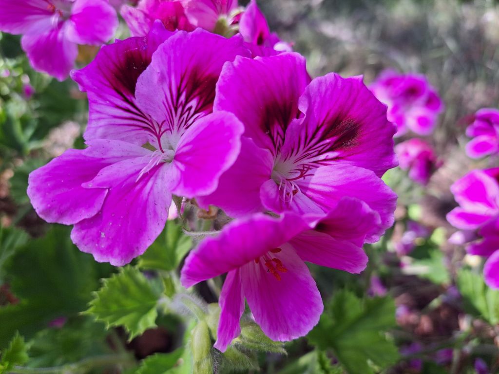
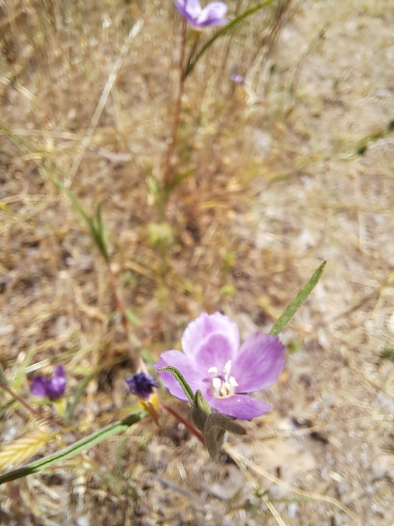
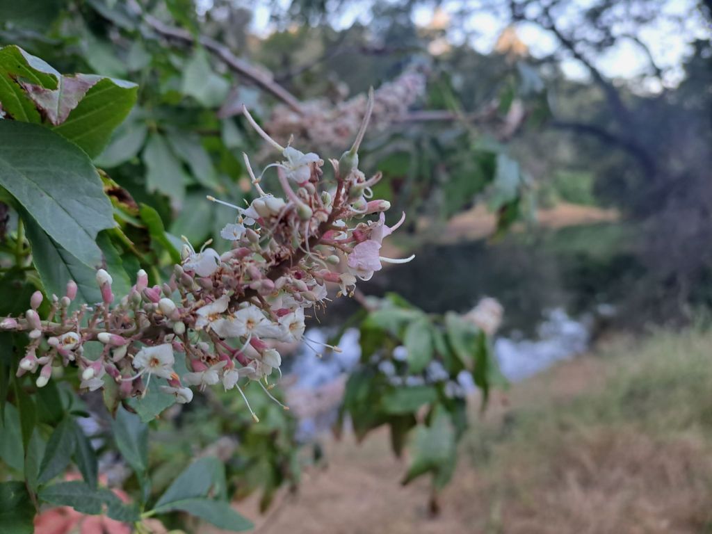
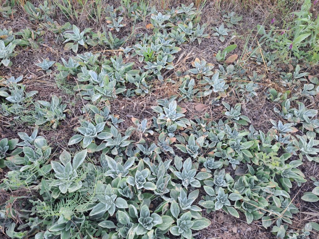
The views are similar to the views from the South Fork or Brown’s Ravine trails, but not exactly the same. Each trail features unique flora.

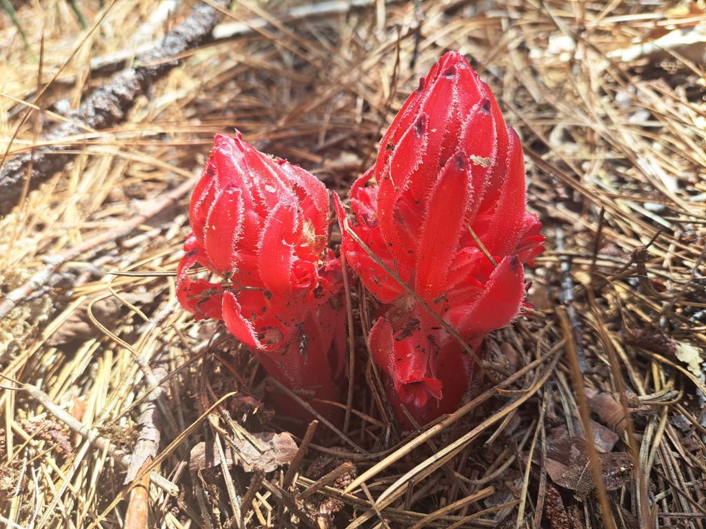
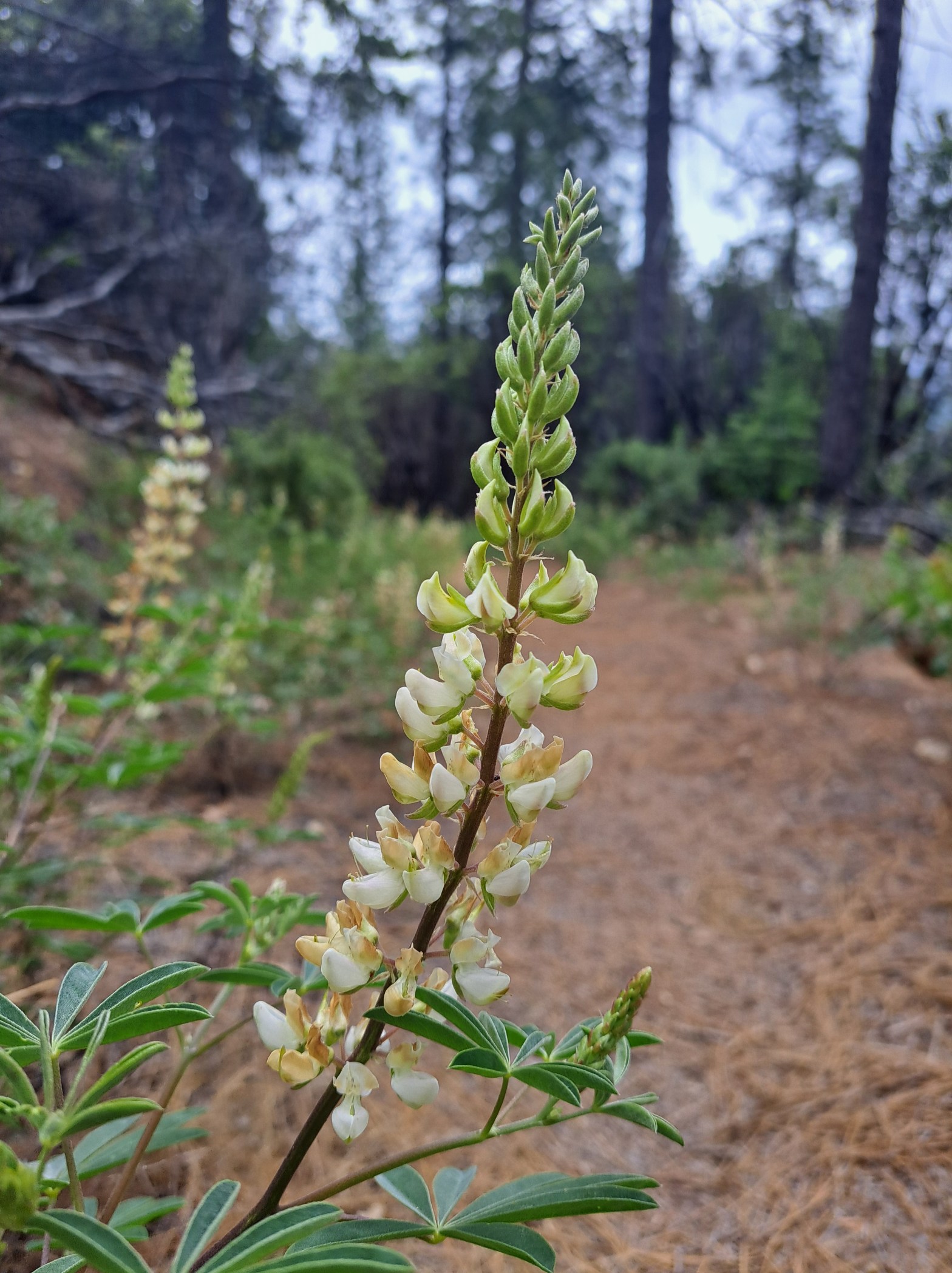
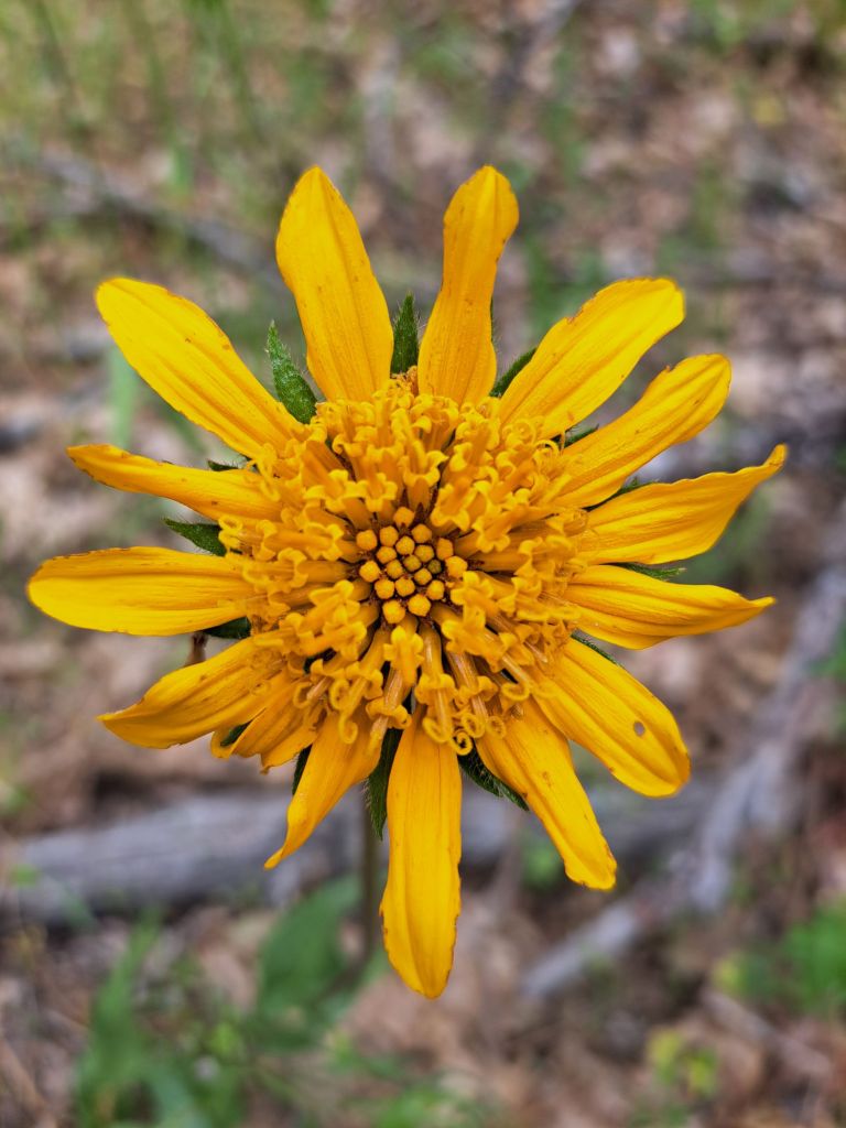
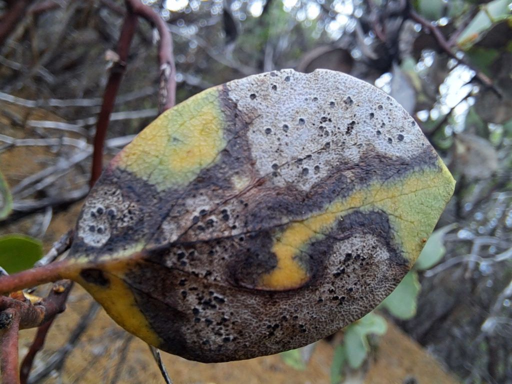
For example, on Darrington, I saw some shrubs I’ve never seen anywhere else before. They were blooming with tiny red and yellow flowers.

Shrub with red and yellow flowers on Folsom Lake

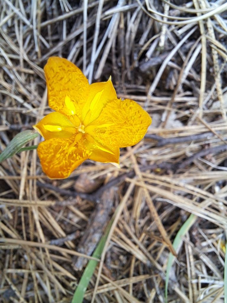
On the other side of Darrington, I found some Sierra Checkerbloom.

Sierra checkerbloom on Darrington Trail

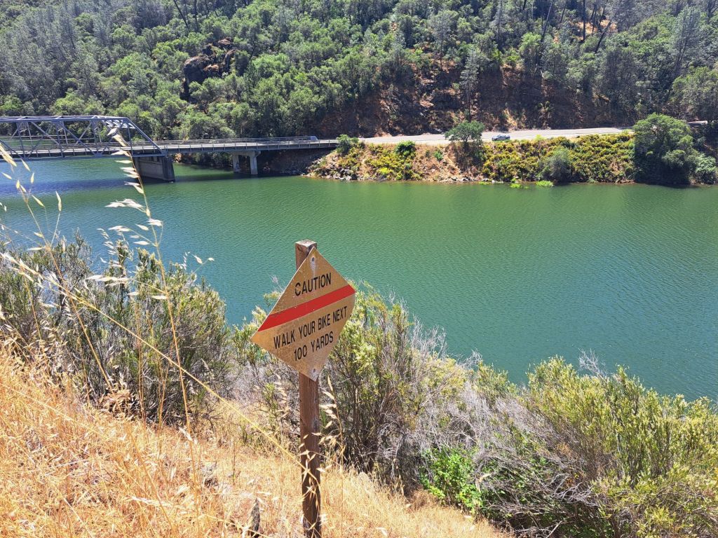
I thought this sign was funny. It would not be fun to fly off this cliff on a mountain bike.

Sign that says ‘Caution: walk your bike next 100 yards”

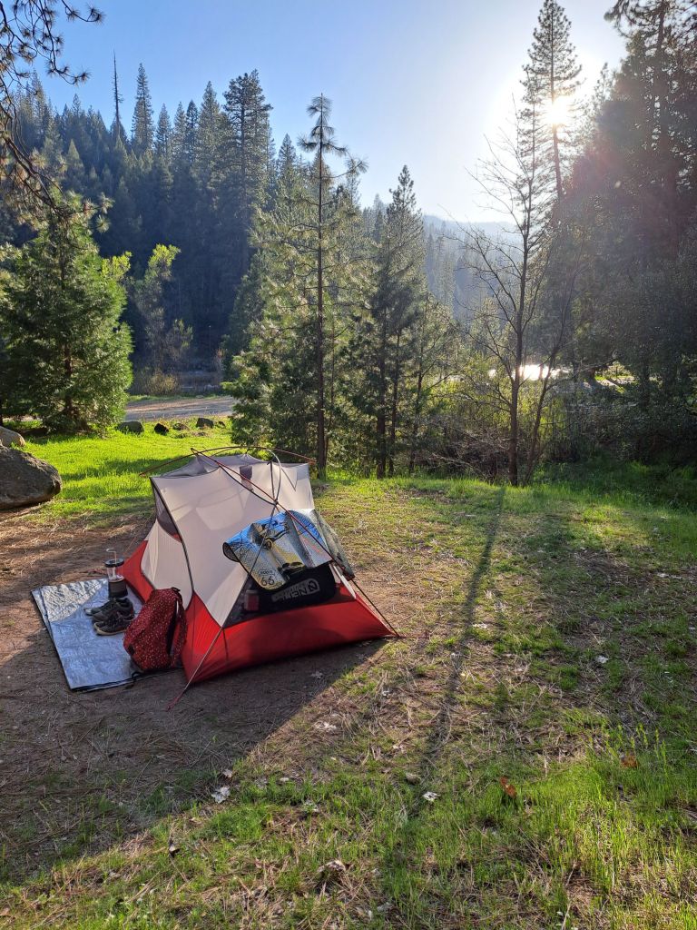
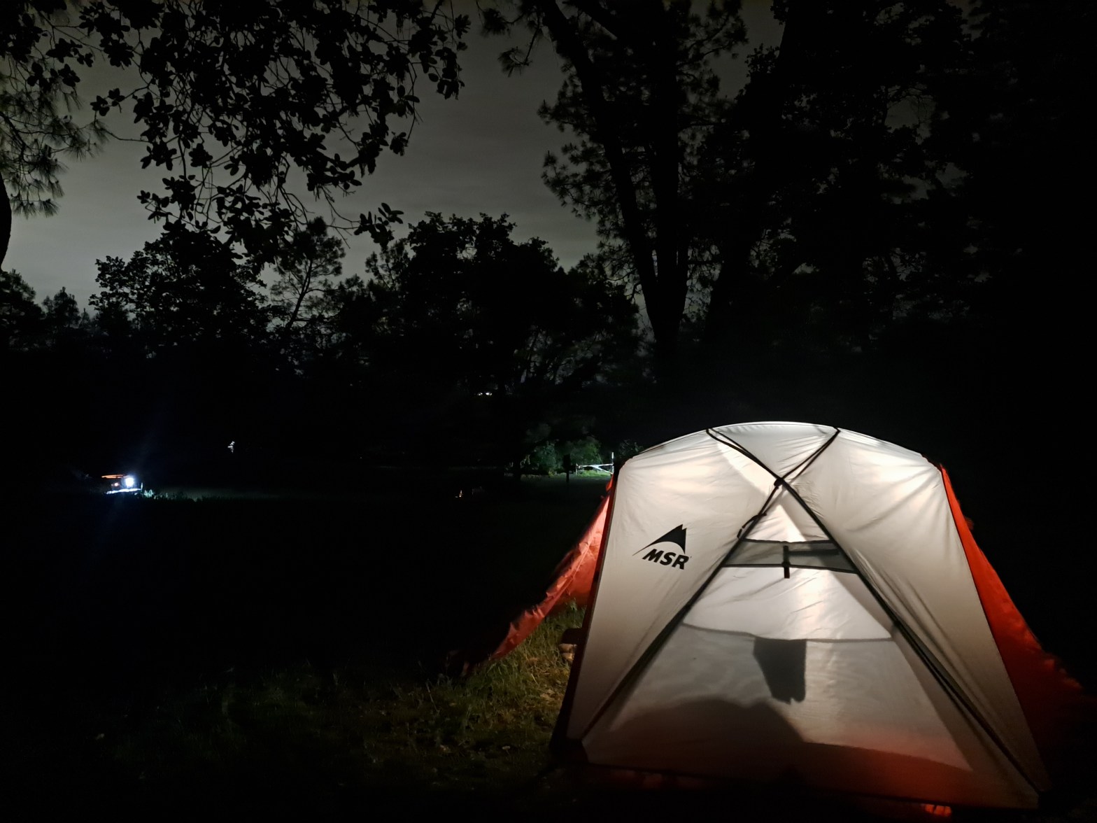
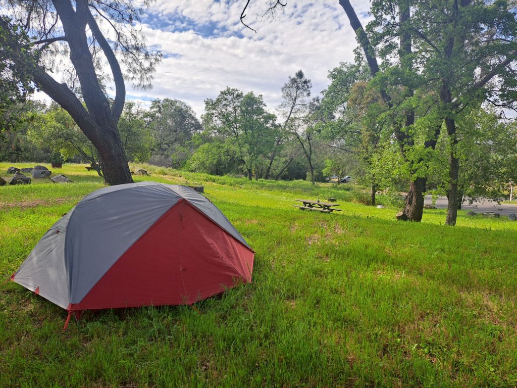
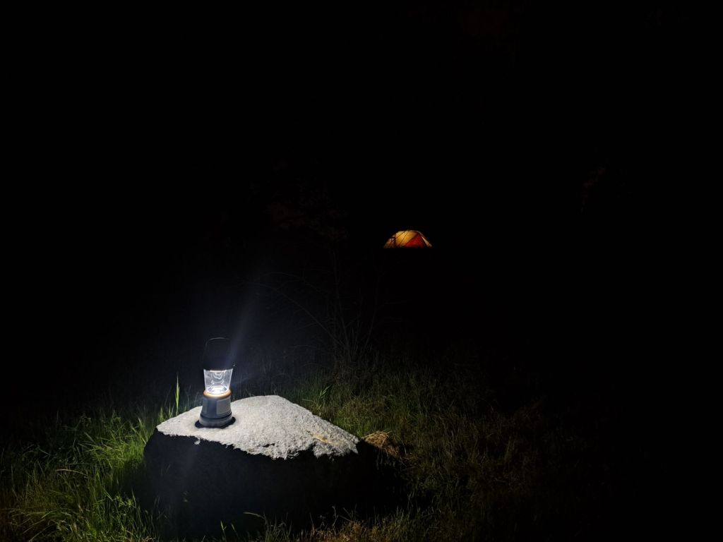
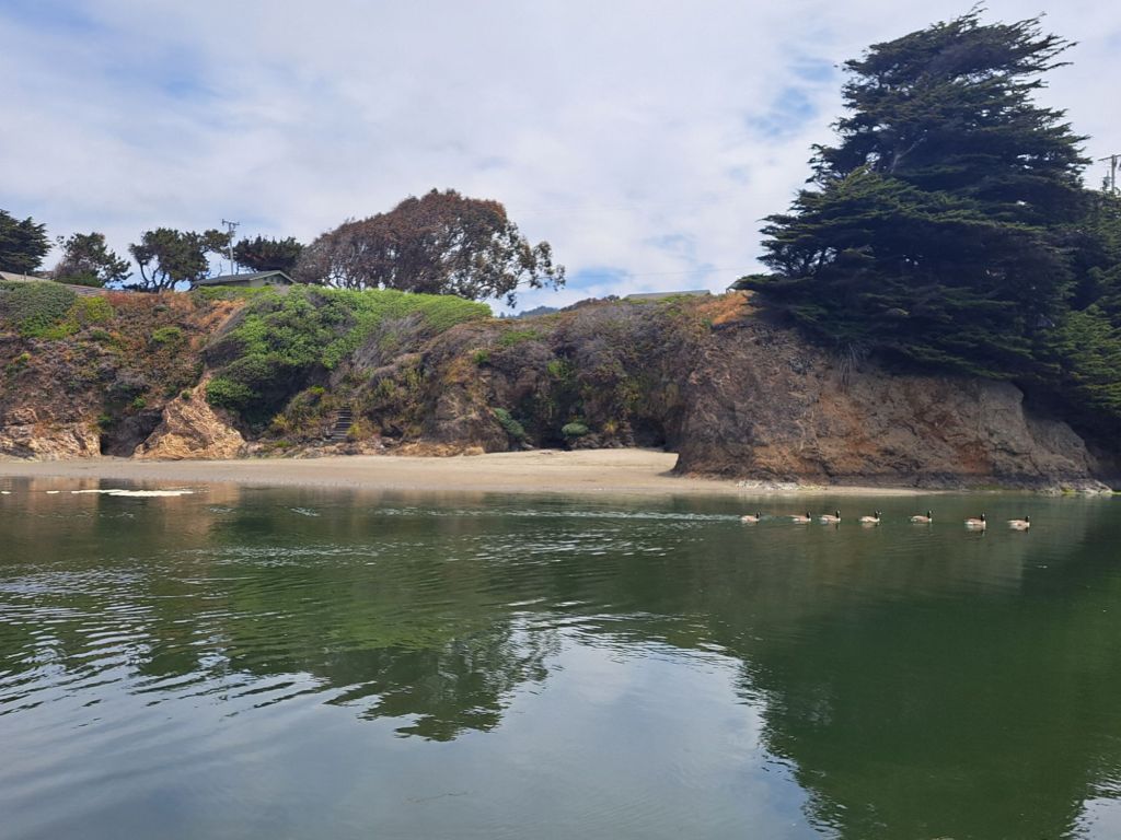
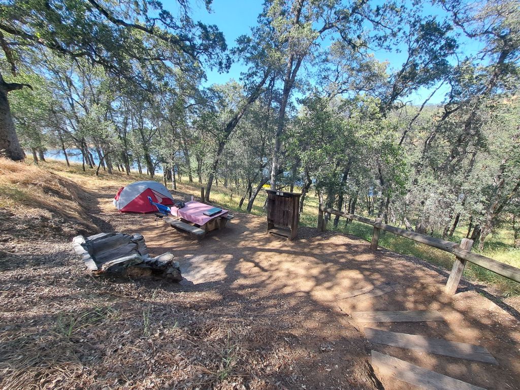
Each of the campsites at Peninsula are unique, and I had the opportunity to stay at several of them.

Campsite 80

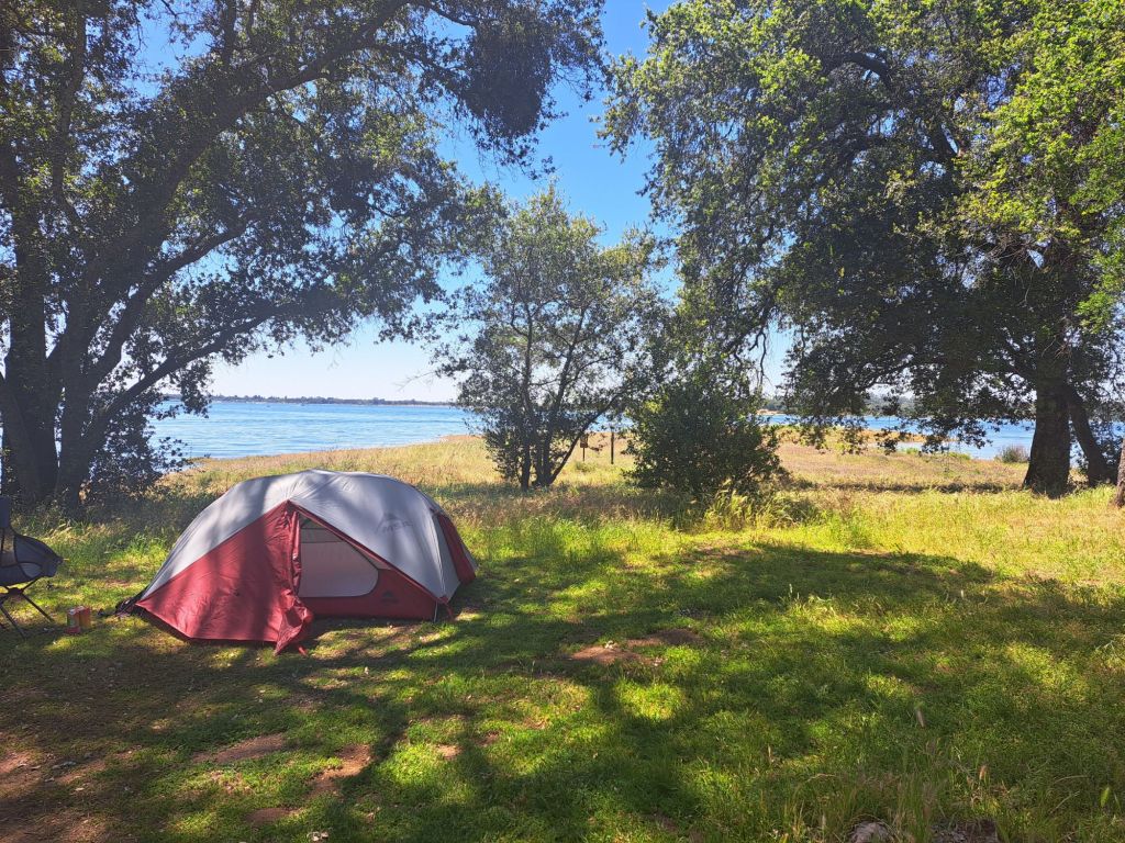
The first site I stayed on was 80, which I’d hand-picked after driving through the campground. I thought it looked like the most ideal spot, since it was the closest to the lake.

Campsite 80

It was absolutely gorgeous, and, if you don’t mind noise, then I would highly recommend this spot.

On the other hand, if you are even a little bit sensitive to noise, I would pick a different spot.

View from my tent window at campsite 80

What I didn’t realize was that this site is on the edge of the boat mooring area. People come here to park their boats and chill.

Some of them peed right in front of me, not realizing that I was only about a hundred years away.

On the night of Mother’s Day, a group of college aged kids camped on spot 79, which is so close to 80 that they may as well be the same spot.

They were clearly camping pros– they had all kinds of expensive equipment, including a Jackery with huge solar panels.

Sunset at campsite 80

It was peace and quiet until 10pm, which, ironically, is when quiet time starts. At this time, they began blasting horror movies from a movie projector which they had set up several feet away from my tent.

Sunset from my tent window at campsite 80

Rather than asking the rangers to ask these kids to quiet down, I asked to be moved to a different site.

Campsite 60

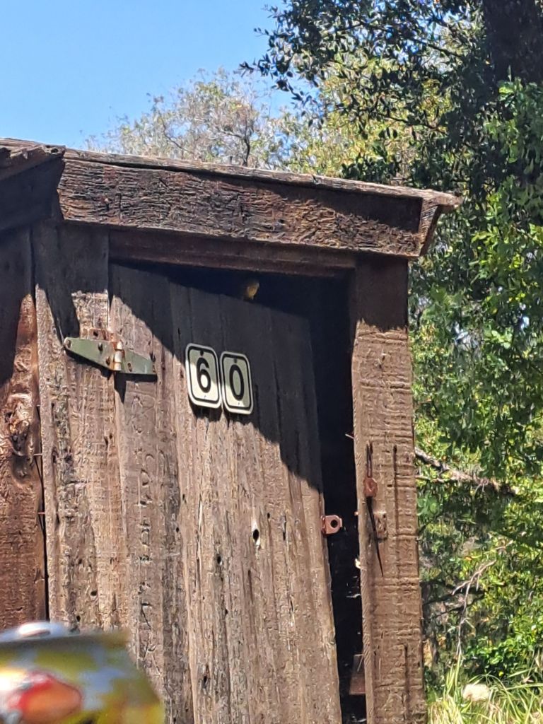
I had noticed that my first choice spot, spot 60, was unoccupied and unavailable on the website. Upon inquiry, I found that it was an overflow “buffer” spot reserved for campers with issues.

The rangers were more than happy to move me to site 60. They didn’t give me any grief about it at all.

Looking down on site 60

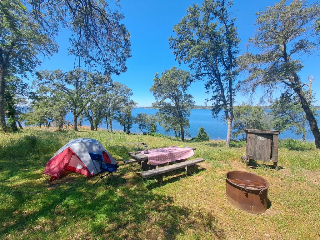
But, site 60 turned out to be wildly overgrown with baby lupine and golden poppies. I felt terrible stepping on them, and it was hard not to.

The broken raccoon box at site 60

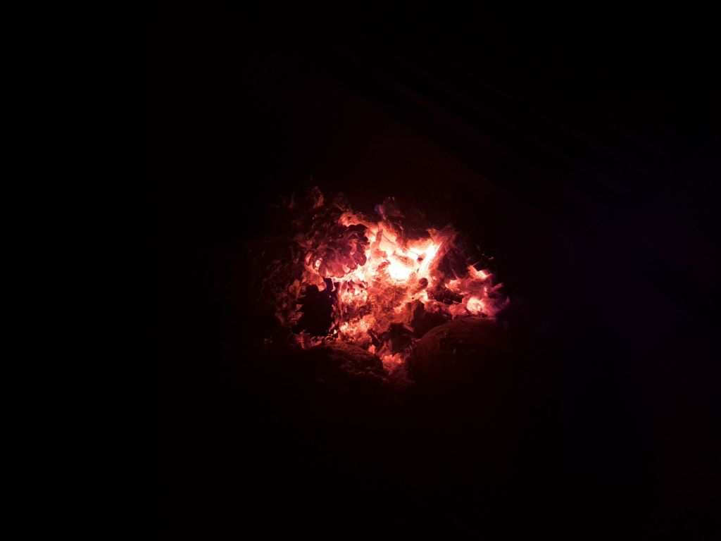
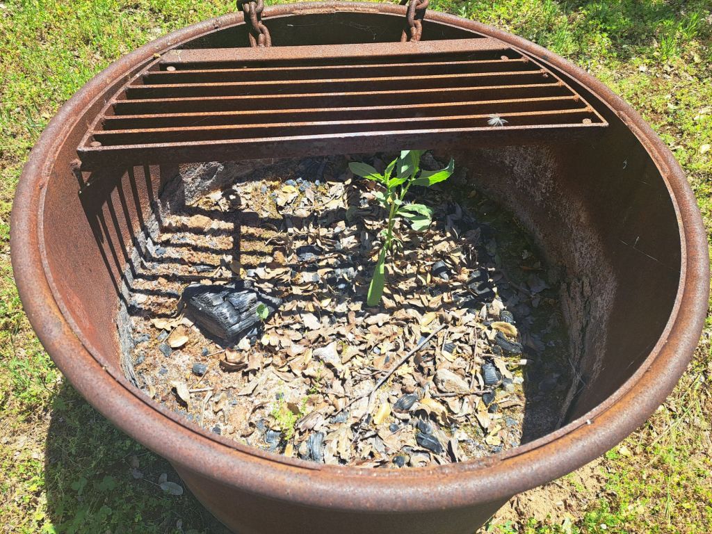
Plus, the raccoon box was entirely broken, and there was a healthy little sapling growing in the fire pit.

A sapling growing in the fire ring at campsite 60

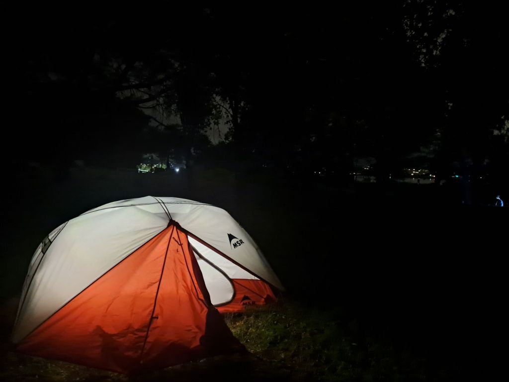
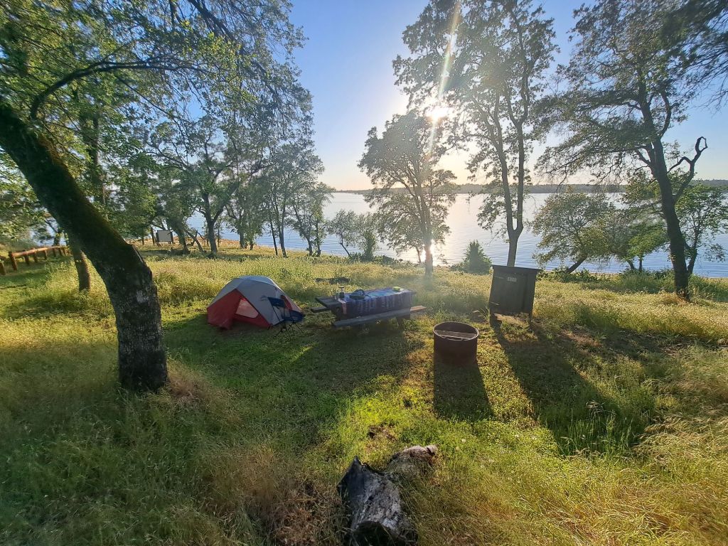
So, the next night, I switched sites again, one site over, to spot 59. Apparently, I failed to take pictures from this site, but the views are almost exactly the same as from spot 60.

Sunset view from site 60

The next time I came back to Peninsula, I ended up on spot 20, because it was the only one available!

I was lucky to get a spot at all, since it was Memorial Day Weekend.

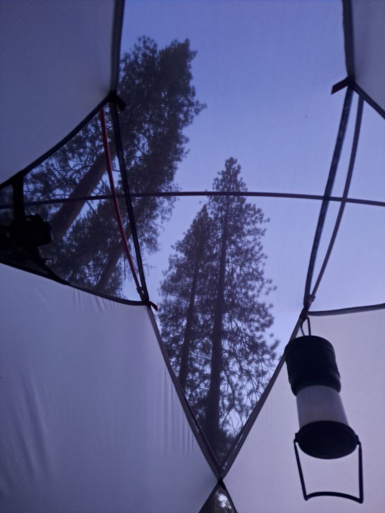
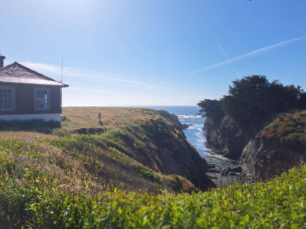
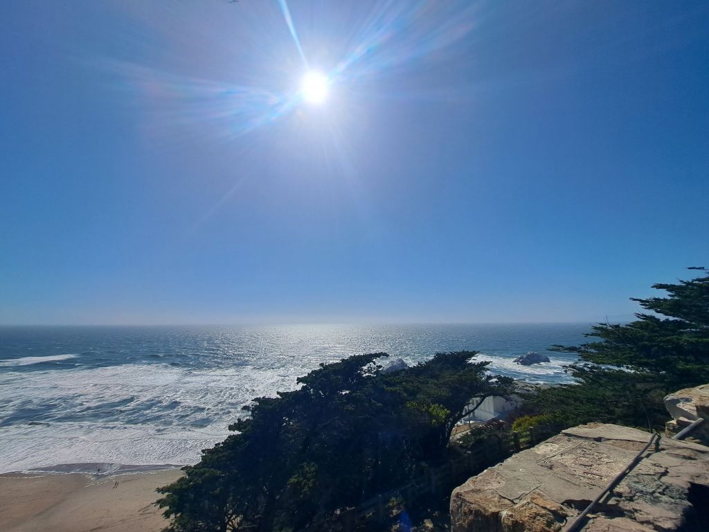
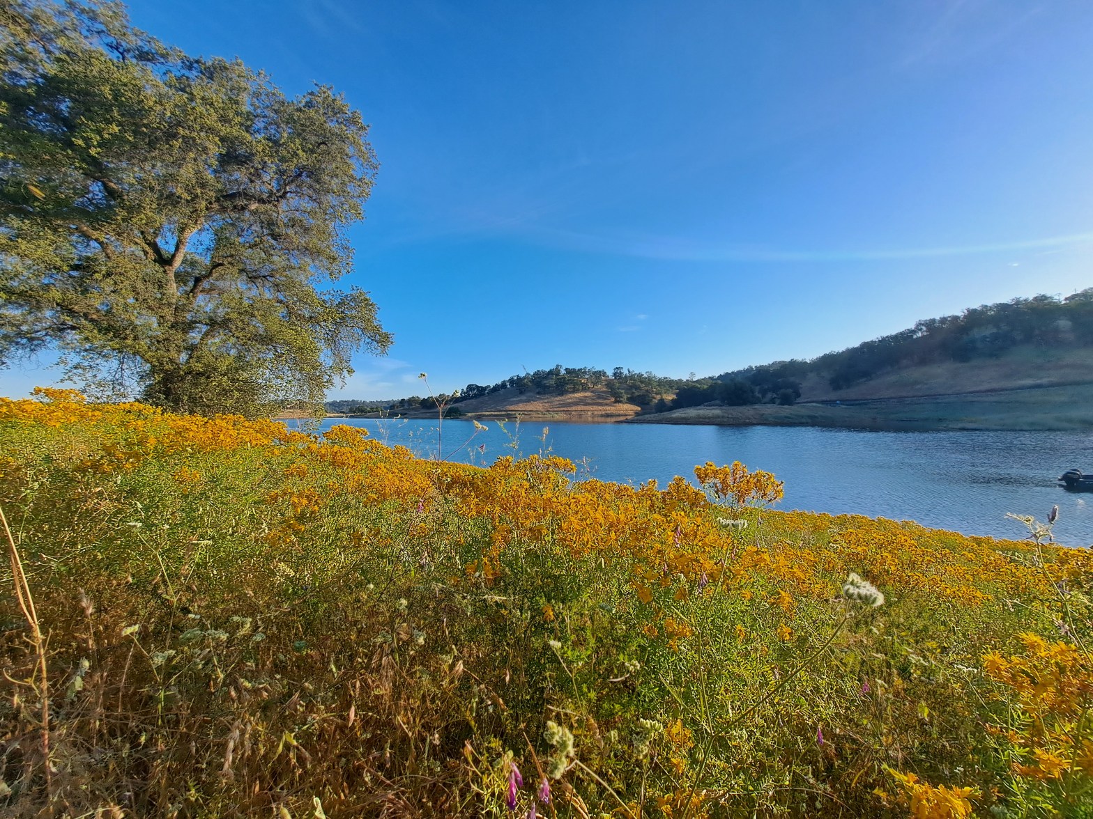
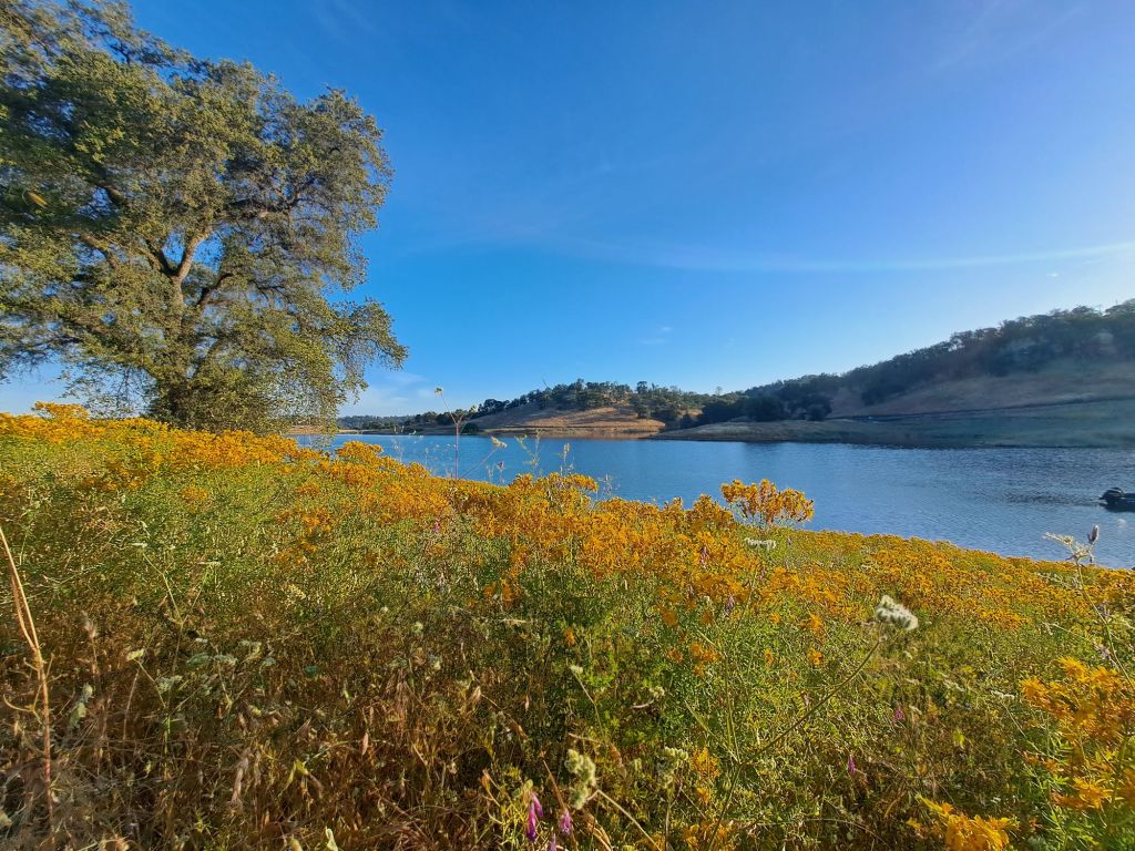
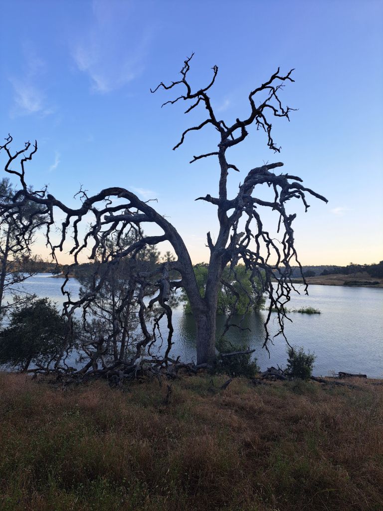
Site 20 turned out to be my favorite one so far. It’s set off kind of by itself. I was just above the Oaks Nature Trail, on a cliff by a ravine.

Buckeye bloom on the Oaks Nature Trail

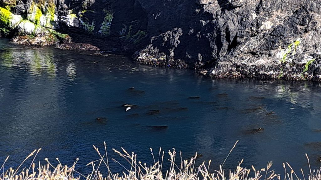
The ravine was full of salmon, which made the area a hotspot for quiet early morning fishermen.

The salmon themselves were unbelievably noisy.

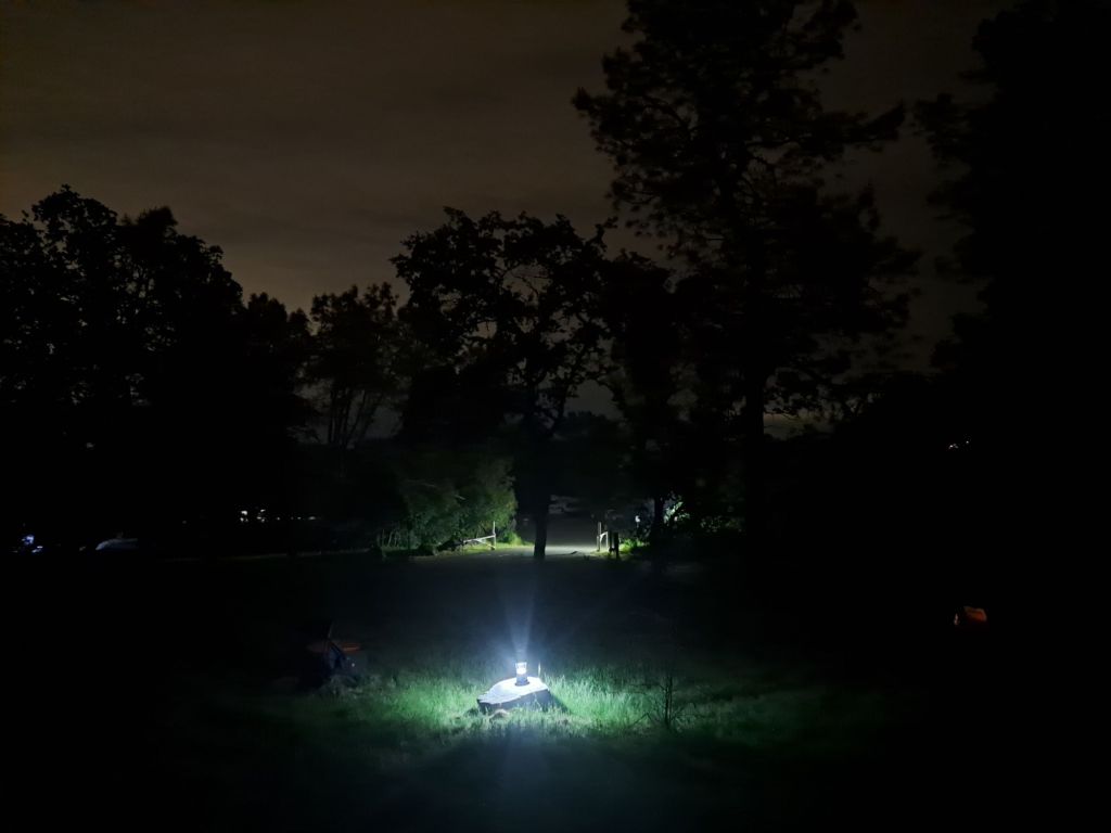
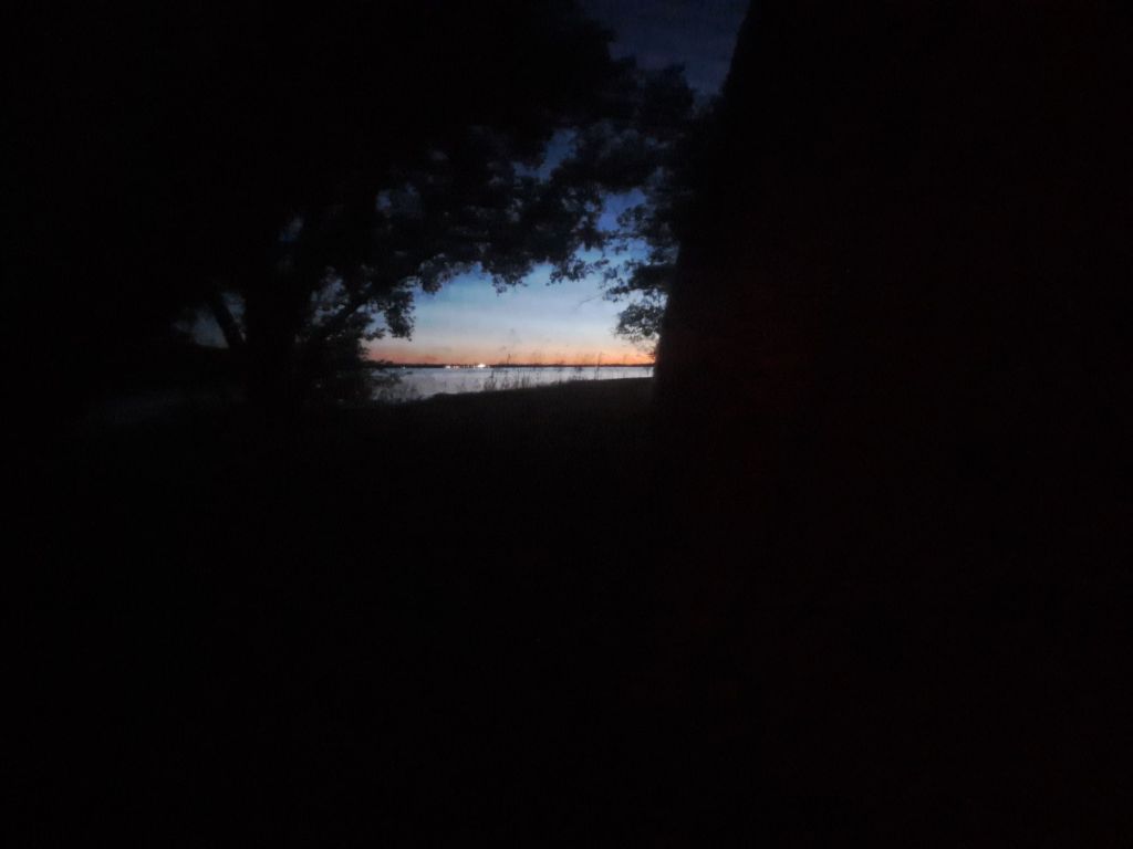
My first night at Peninsula, I almost thought someone was dumping bodies in the water 😂

Oaks Nature Trail and Folsom Lake

All throughout the night, at least once per every few minutes, I could hear a salmon jump.

They like to jump up to six feet in the air, and then flop down on their full side, which creates a loud splash.

(Apparently, scientists think they do this to dislodge body lice.)

Site 20

I had read in another review that the upper loop of the campground doesn’t have good views of the lake, but that’s just not true. I loved my view from Site 20.

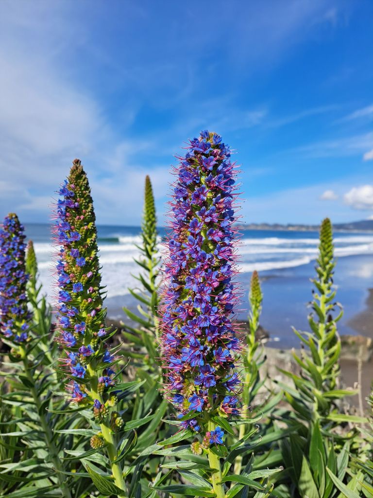
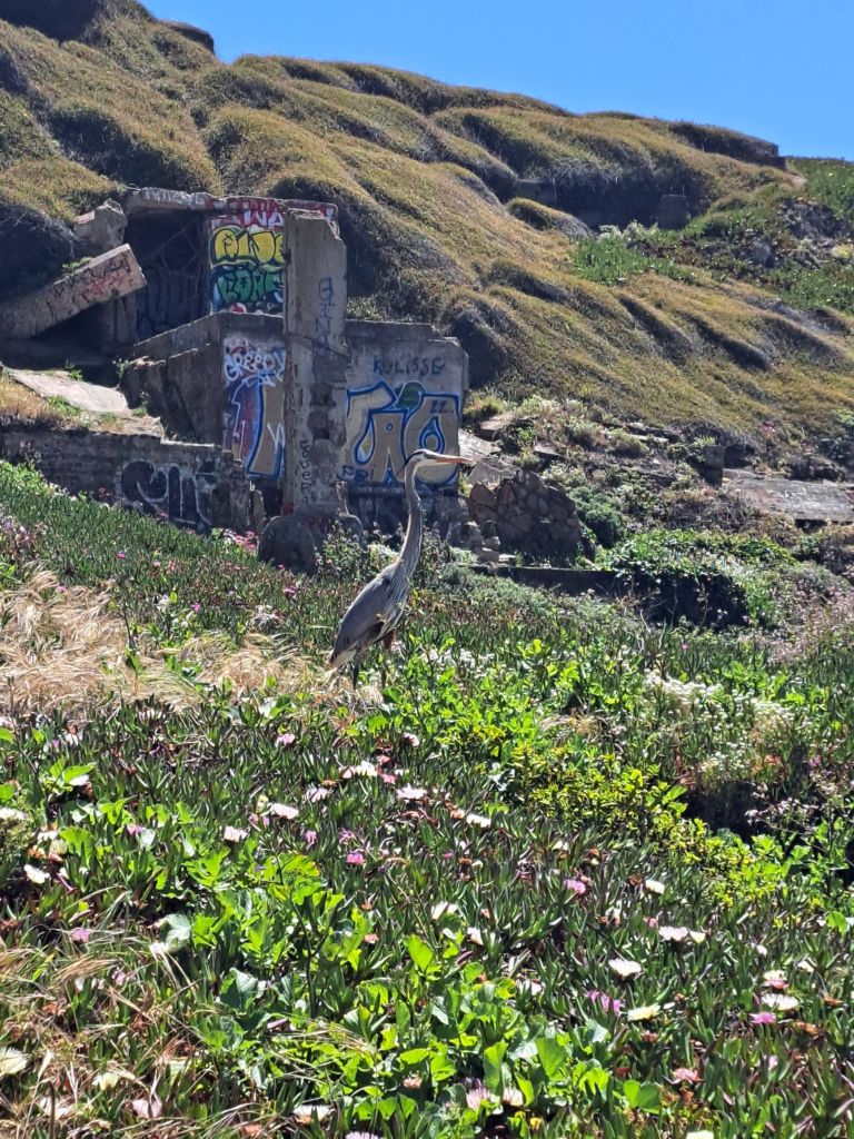
Due to being directly underneath a huge blue oak tree, this site was mostly shaded for most of the day. It was right above a yellow wildflower bloom, which the herons seemed to love.

The giant oak tree looming above my tent at site 20

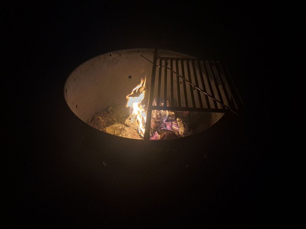
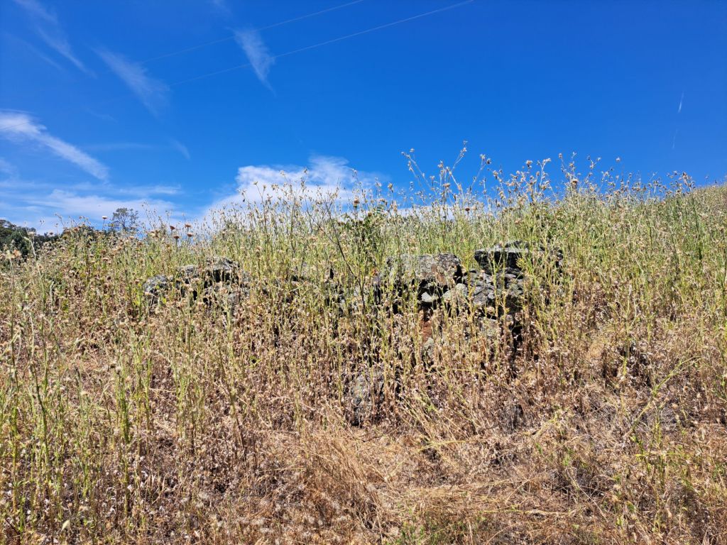
To compensate for being slightly further away from the lake, most of the upper spots have beautiful stone grills. Some of them are falling apart, but they still work.

The stone fireplace at site 20

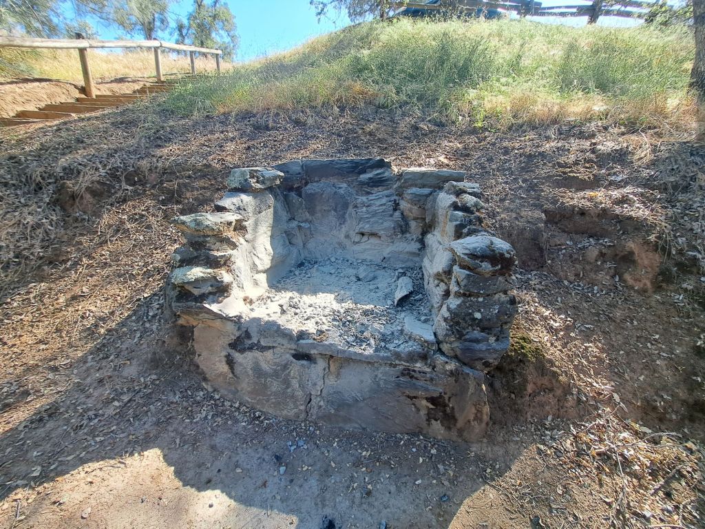
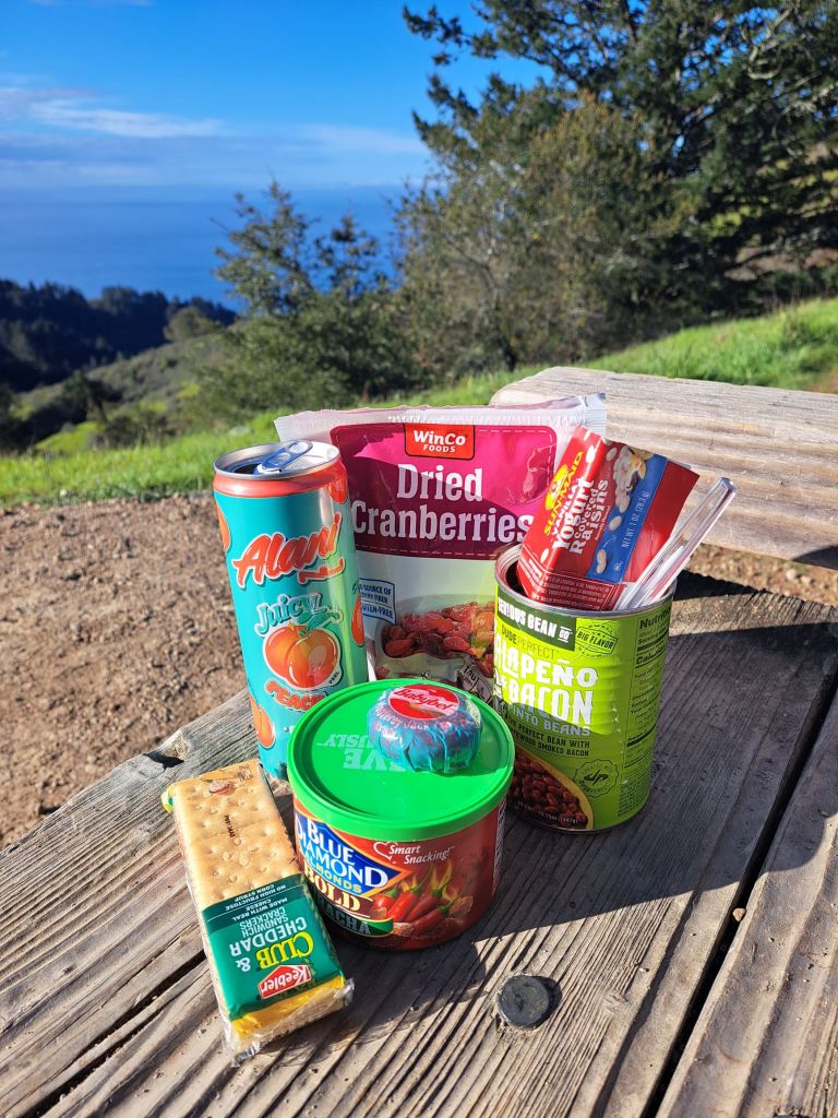
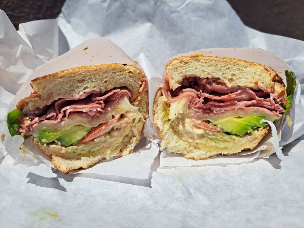
I didn’t use my stone fireplace, but I did use my camp stove to up my outdoor cooking game, from boiling water, to boiling things in water.

I had picked up some of my favorite ravioli from Trader Joe’s, which I had for both dinner and the next day’s breakfast.

Upping my cooking game at site 20

After a few nights, someone else reserved spot 20, so I moved to spot 47. But, whoever reserved spot 20 never even showed up.

Spot 47 was my least favorite. It was super sunny, and everyone driving in or out had to drive by that spot.

To make matters worse, this site seemed to be a deer’s home. He marched loudly through my site in the middle of the night, and stole some trash that I had forgotten to put away.

Native ground cover succulents on the Oaks Nature Trail

Once the temperature started rising above 80 degrees, I had to go. It gets hot in a tent really fast.

I packed up early in the morning, and headed back to the mountains.

Wawona Campground, Yosemite National Park

Of all the places I’ve camped in Yosemite so far, I think Wawona may actually be my new favorite.

One of my sites at Wawona. The aluminum was to block out car headlights from the road behind my tent

I had come up here hoping for more peace and quiet than at the campgrounds in the valley, and I found it.

View of trees from my tent

Both of the sites that I camped in at Wawona were spacious and private, other than being kind of close to the Highway.

Flower at Wawona

One afternoon, I took my camping chair and an adult juice box down to the river between the camping loops, and had several hours of privacy.

This rock reminded me of something

The next day, I drove up to the Visitor Center and free history museum, and loved it.

Chinese building water pump

Several historical buildings from the valley have been relocated to Wawona for preservation, including some of the Degnan’s.

Chinese laundry building

Even the old Chinese laundry building has been preserved as a museum.

Chinese laundry educational sign

Unfortunately, all of the buildings were locked. Due to hantavirus and plague outbreaks, there haven’t been any tours for years.

Chinese laundry building plaque

I hiked the trail from the visitors center to Swinging Bridge, and back down Chilnuana Falls Road.

Mountain lion warning at Chilnuana Falls Trail

The hike to Swinging Bridge was gorgeous. Forests that had been burned down were full of fresh new plants on the floor.

Hiking trail to Swinging Bridge from Wawona visitor center
Trail to Swinging Bridge

I saw tons of snow plant, purple pipevine, and fallen Sequoias that, even on their sides, were twice as tall at me.

Snow plant
Snow plant
Snow plant

I wondered what I would do if I had to climb over a tree like that in the wilderness.

Snow plant
Snow plant
Snow plant

I started the hike to Chilnuana Falls, but I didn’t get very far. I was alone, and I felt very strongly that I was being followed by a mountain lion.

Swinging Bridge, Wawona
Bottom of Chilnuana Falls

I decided to turn around, and save that hike for another time.

Swinging Bridge, Wawona

My last day in Wawona, I hiked all of the trails in Mariposa Grove. My phone was dead, so I don’t have a single picture.

Swinging Bridge

The hike up to Wawona Point was absolutely incredible. It was some of the most stunning scenery I’ve ever seen in my life.

Burned trees on Swinging Bridge trail

The redwoods in Wawona are much wider than the ones on the coast, but not quite as tall.

New forest floor growth

They’re taller than the trees in Sequoia, but not quite as wide. Every redwood forest is unique in its own way.

Ladybug on flower

There are no restaurants in Wawona, except for at the Wawona Hotel, which is also worth visiting just for fun.

Purple fiddleneck

The grounds and lobby are public. I sat in the hotel lobby for hours one night, charging my phone and camping lanterns.

Mushroom
Mushroom

Aside from the hotel, there is also a library which is open two days per week, and a small convenience store with great souvenirs.

Pretty shrub
Shrub with pretty flowers that look like columbine

Wawona is definitely one of my new favorite campgrounds in Yosemite. I would love to come back during the off season, when things are even quieter.

Wawona road signs
Educational signs

Beals Point Campground, Folsom SRA

I think of Beals Point as my “home campground,” since it’s the closest campground to where I lived in Folsom for fifteen years.

ADA Site #1 at Beals

It’s also one of the first places I ever went camping outside of Yosemite, although I never camped there during the entire fifteen years that I lived there as an adult.

Recent circumstances made it convenient for me to spend a few nights at Beals.

There have been times that I’ve had to come into town to check my mail or get things from my storage, and it’s usually easier to just spend the night in Folsom before I take off to my next destination.

Duracell lantern from costco

Beals Point is a very large campground, but it fills up quickly. It’s not uncommon for weekends to sell out far ahead of time, even during the “off” season.

As compared to other state campgrounds, the sites here are large and private.

There is some variation from site to site, but the online pictures are fairly accurate.

I may be biased, but I think it’s a beautiful area. The campground is located right on the edge of Folsom Lake, but is still close enough to town to make an emergency trip to Walmart if you need to.

Fire

Folsom Lake is very popular for boating, camping, and hiking. You can also kayak or paddle board, although it would be safer to do these a few miles away at Lake Natoma.

Beals Point serves as the terminus for the American River Bike Trail, which is one of the longest and most famous bike trails in the world.

The trail runs thirty two miles along the American River from Folsom to Old Sacramento. It’s also possible to continue on riding to Davis or San Francisco.

Site 1

I’ve personally ridden about 20,000 miles on that bike trail, so, you can see why I’m having trouble moving on 🤣

It is common to see deer, coyotes, bobcats, rattlesnakes, king snakes, bunnies, western gray squirrels, blue skinks, skunks, hawks, herons, and bald eagles along the trail.

The sites at Beals Point are pretty standard, with picnic tables, fire rings, and bear proof trash receptacles nearby. Most offer partial shade.

If you are looking for a more private or quiet site, I would recommend staying near the camp hosts or amphitheater. The sites closest to the lake are known for partying.

Site 1

This campground is better patrolled than most. Either that, or the Folsom Police are watching me 🤣 Every single time I’ve stayed at Beals, I’ve noticed a heavy police presence.

There are showers at Beals, for a fee. I believe it’s either 4 quarters or 1 shower token (which can be purchased from the kiosk for $1) for five minutes.

Technically, I’ve used the showers at Beals, but it was over twenty years ago. All I can remember is that I kept asking my mom for more quarters.

The bathrooms are not terribly dirty, although they are full of bugs, and do not have soap dispensers.

Site 1

As much as I hate the town of Folsom, I actually love this campground. It’s wild and rustic, the fees are reasonable, and the staff is great.

Like most California State Parks, sites can be reserved online two days ahead of time. Sites that are not sold online can be sold in person on a first come first serve basis.

In the rare event that there are still sites open after the kiosk has closed, self registration is possible.

Fire is allowed at Beals, as long as you purchase your wood in Folsom. Bringing wood from other forests is said to transmit pests which threaten native trees.

Fire

Firewood can be purchased at the ranger station for $10/bundle. Gathering firewood from the campground is prohibited.

Overall, this is a great place to stay.

10 Mile Beach, Mendocino

After reading the signs at Noyo Headlands, I was curious about 10 Mile Beach.

10 Mile Beach

I decided that I wanted to hike as many trails as possible between 10 Mile Beach and Van Damme State Park.

After hiking from Seaside Beach to 10 Mile Beach, I moved my car over to the 10 Mile Beach parking lot.

View of sand dunes and ocean from bridge

From the parking lot, there was an accessible trail across the bridge, or a hiking trail across the sand dunes to the beach.

Beginning of hiking trail

I walked about halfway across the bridge to see the view of the ocean and sand dunes, and then went back to the hiking trail.

Berries on hiking trail

The first hundred yards or so of the trail was incredibly dense raspberry and blackberry bushes. This suddenly broke into sand dunes, which were difficult to hike up.

Closeup of blackberry flower

10 Mile Beach was much more difficult to get to than Seaside Beach, but it’s also way bigger. I’m not sure if it actually goes on for ten miles, but I hiked a few miles each way.

Sand succulents
Blooming sand succulents
Blooming sand shrub

Even after hiking for over an hour, the scenery was unchanged. I was walking between sand dunes and shore. The dunes themselves were mostly off limits, as they are roped off to protect the birds.

Snail shell
Macro snail shells

There are only a few hundred pairs of breeding Snowy Plovers left, so it’s no surprise that I didn’t see any of them. I just saw lots and lots of seagulls.

Small bird or rabbit bone

In order to help protect the Snowy Plovers, dogs are not allowed on 10 Mile Beach, but they are allowed up the road at Seaside Beach.

Educational sign

I found a few lone pieces of washed up sea glass, but nothing like at Glass Beach down the road.

10 mile river draining into the ocean at 10 mile beach

What I found an unreal amount of was sand dollar shell fragments. None of them were intact, but they were huge, and went on for miles.

Geese on the 10 mile river

There were also millions of tiny perfectly rounded black, red, and orange sea pebbles.

Sand dollar

The best thing about this beach was how isolated it was. The entire time I was walking down the shore, I only saw one or two other people from a distance.

10 mile beach

Historically, 10 Mile Beach marked the end of the Pomo Native American Reservation.

10 mile beach

Pomo lived between this beach and Noyo Headlands until they were force marched to Central California by Fort Bragg soldiers.

Glass and green rocks on 10 mile beach

Imagine living in one of the most beautiful places in the world, and being violently forced to move to an ugly desert. How devastating that must have been.

Glass on 10 mile beach

Today, the Pomo help the park service restore the habitat to its natural status. They help protect vulnerable species, and educate park rangers on sustainable practices.

Shell on 10 mile beach

This beach is about twenty miles up the road from Glass Beach.

Point Cabrillo Light House SHP, Mendocino

Birds near the lighthouse museum

Recently, while camping at Van Damme State Park just outside of Mendocino, I made a stop by the Point Cabrillo Light House State Historic Park (SHP).

The park is easy to find, as it’s just off of Highway 1, less than two miles down the road from Russian Gulch State Park.

You can actually take Point Cabrillo Road all the way to Russian Gulch.

Cove by the lighthouse

Mendocino Headlands, Jughandle, Fort Brag, Glass Beach, Noyo Headlands, and Mackerricher State Park are all within fifteen miles up the road.

I had never seen this lighthouse before, so I wasn’t sure what to expect. I think I had the tall lighthouse from Point Reyes in mind.

The walk down to the lighthouse is either half a mile down a paved road from the parking lot, or a three quarter mile hike.

End of the hiking trail to the lighthouse

Obviously, I went both ways. The hiking trail was not very interesting. The paved road was actually more interesting, since it led to the museum and vacation rentals.

Unfortunately, since I arrived past 5pm, I was not able to see inside the museum. But, obviously, I could still see the lighthouse.

On the other side of the lighthouse, I saw one of the most beautiful coves I’ve ever seen. The entrance was tall, but narrow.

Beautiful cove

As a result, the water in the cove was calm. Two juvenile sea otters were playing in the sea kelp, purposely tangling themselves up, and then dramatically setting themselves free.

They looked like they were having a ton of fun, until one suddenly leaned upward, and looked straight at me.

Sea lions playing in cove

It stared at me for a few seconds before diving deep under the kelp. Within seconds, the sibling followed. Once I backed away, I could see that they resumed playing.

I thought, they must be afraid of being hunted. I guess that makes sense, since they swim long distances, and some people do hunt them.

Historic lighthouse

I honestly didn’t care too much about the lighthouse, but thought the walk down was worth it just to see the ocean and the coves.

The vacation rentals were really cute, and looked like they were bright and clean on the inside. It would be interesting to stay there.

Rental vacation cottages on state park property

Both cottages are two stories, and both are accessible. One has three bedrooms, while the other has four.

As a bonus, this park probably has the nicest bathrooms of any park in the area. They are clean, private, and spacious, and have soap and good electrical outlets.

Educational sign

Since this was less than a two mile walk, it was a quick trip. Most people would only need about an hour or less to check this out.

There is a fee to park at the lighthouse, but, if you are camping at any of the state parks nearby, it’s actually included in your day use fee. Just be sure that your registration slip is in your window.

Cove by the lighthouse

Chute Hill Camp Ground, Nevada City

Malakoff Diggins was once the site of the world’s largest hydraulic gold mine. The corresponding town of North Bloomfield had a population of over 2000 people.

Hydraulic gold mining at Malakoff Diggins. Source: United States Geological Survey media

In hydraulic gold mining, giant water jets were used to wash away entire mountainsides so that the gold could be extracted from them.

Because Californian gold forms in flakes rather than in chunks, mercury was used to separate the flakes from the rest of the sediment, which was then dumped into giant piles of rocks.

Valleys were filled with rocks and sediment, which began to flow downstream into the Yuba and American rivers.

The Diggins, former site of the world’s largest hydraulic gold mining operation

So many tons of rocks were washed into the rivers that it filled up the bottoms of the riverbeds, causing the rivers to become more shallow, narrow, and swift.

Deadly floods began to hit the towns of Marysville and Sacramento. After enough people died and enough businesses were destroyed, hydraulic gold mining was finally outlawed.

The first environmental protection law in California banned hydraulic gold mining in 1884. The thriving town of North Bloomfield began to die off, and was eventually entirely abandoned.

The Diggins from Rim Trail

A hundred years later, California turned the remains into a state park. Malakoff Diggins contains the ghost town of North Bloomfield and the ‘Diggins,’ which is the site of the old gold mine.

Chute Hill Campground is the only official campground in Malakoff Diggins State Park.

Map of park

Aside from the campsites, there are also three cabins, which can each sleep four to eight people.

Technically, the park is located on the outskirts of Nevada City, but Nevada City is actually about half an hour away.

Manzanitas on Rim Trail

Before visiting Malakoff Diggins State Park, there are a few important things to know.

First of all, following the Google Maps directions will send you down an 8 mile long dirt road for no reason.

Driving in on a nicer section of the dirt road

It’s much easier to take highway 49 to Tyler Foote Road. It’s a quarter mile longer, but it’s paved all the way.

My first time driving in, I took (the dirt) North Bloomfield road, and it was awful! The road is mainly used for off road vehicles, and it’s full of giant gaps and potholes.

Once I finally made it in to the park, I didn’t see a kiosk, so I went ahead and set up. As I later found out, the check in kiosk is actually located inside the museum/visitor center.

Check in sign at campground

When I read on the website that there was an old town in the park, I was picturing a lively town with retail shops and restaurants.

There are absolutely no shops, stores, or restaurants inside of the park. The ‘old town’ is literally just the skeleton of empty buildings where the town of North Bloomfield used to be.

The museum sells ice and firewood, but nothing else.

The park contains several hiking trails, but they’re all relatively short. An avid hiker could easily cover most or all of them in a single day.

Map of campground

Since the trailhead for the Slaughterhouse Trail was only one campsite away from mine, I decided to start there.

It only took about ten minutes to take this trail past the cemetery and church to the museum. The grade was steep in some places, but the trail was easy to follow.

Next, I took the Rim Trail around the rim of the ‘Diggins,’ which is the name bestowed upon the hydraulic gold mine graveyard.

List and descriptions of park trails

Some of the manzanitas on the rim trail appeared to be ancient. Their bark varied from crimson red to ash gray. Some of them had really interesting holes in the branches.

Manzanita branch

I also found a few patches of white lupine, and, of course, lots of redwoods. There were a few sugar pine trees, which I noticed because of their giant pinecones, which are about as long as my forearms.

White lupine on the side of the Rim trail

Some of the manzanitas looked kind of hairy to me. It took a while to figure out that this was because they were covered in pine needles fallen from the trees above.

Manzanitas covered in pine needles

The view of the diggins was not any better than it was from the outlook inside of the campground, which was right next to my campsite.

The Diggins Overlook by my campsite

Unfortunately, the Rim trail was infested with mosquitos, which made me get tired of it very quickly.

Sugar pine cone bigger than my hiking boot

I hiked back to the visitor center, and heard the volunteer ranger recommending the Diggins hike to someone else. She said, “I wouldn’t miss it.”

Very old manzanita branches on Rim trail around the Diggins

So, the next day, I took the Diggins Loop Trail down into the actual Diggins. Along the way, I got lost, and ended up in an NPS graveyard of artifacts.

Manzanitas growing in front of redwoods

I didn’t take any pictures, but it was wild. There were literally just piles of antique cars, stoves, and mining equipment.

Manzanitas on Rim Trail

Walking around the Diggins was kind of interesting. It felt just like walking around on the gold tails in Folsom (where I lived for the last fifteen years), except on a larger scale.

Manzanita blossom on Rim Trail

The most interesting thing to me was that the redwoods were literally buried fifty feet deep in rocks and sediment, but were still mostly thriving.

Tiny nest found on Rim trail

I could tell that I was hiking through the midsection of the trees, which felt really weird to me, since I’m so used to hiking underneath them.

Manzanitas on Rim trail

In between the rock dunes, a few pools of water had turned interesting colors of turquoise due to the mineral pollution that washes down during rainstorms.

Horsetail blossom on Rim trail

According to educational signs in the park, this runoff is responsible for roughly two tablespoons of mercury washing out into the Pacific Ocean per year.

Diggins overlook

Since I was alone and without cell service, I decided not to take the tunnel trail through the old gold mining tunnels, even though this sounded like the most fun hike to me.

Sunflower on Rim trail

Back in North Bloomfield, I found a large lawn called China Garden, but it’s unclear what the historic significance of the lawn was.

Entrance to China Garden in North Bloomfield

Presumably, Chinese immigrants must have played a part in gold mining at Malakoff Diggins. Like some other state parks, they probably need to add this information to their signage.

China Garden, North Bloomfield

The next day, I drove out to the Bridgeport covered bridge, which advertises itself as being the longest covered bridge in the world.

World’s longest covered bridge

I was not super impressed, although the view of the river from the bridge was pretty. Lots of people were swimming or rafting the waters below.

Looking out onto the Yuba River from inside the bridge

On my way out, I noticed an old closed down Shell Station, and a historic Wells Fargo building.

Old Shell gas station
Educational sign explaining the history of the Shell station
Old Wells Fargo building on the side of the freeway

While I did not take any pictures of the campsite itself, it was very pretty. As compared to other state park campsites, it was on the larger side.

Black lichen on Rim trail

The rangers make you sign an acknowledgement of the bear policy when you check in (there are bears here, and food must be stored properly), but I personally had way more issues with mosquitos!

A tiny insect nest

The fees were not bad, especially with my access pass. If I stayed here again, I would probably want to stay in one of the cabins during the off season.

A sick manzanita leaf

This wasn’t the most beautiful place I’ve ever camped, but it was nice and peaceful, and the history was interesting to learn about.

Orange orchid on Rim trail

Pantoll Campground, Mount Tamalpais

The first time that I left the homeless shelter to go camping, I didn’t know that I would be leaving forever the next week.

I thought that I just needed a break from all the commotion.

Flowers on Stinson Beach, which I hiked to from Pantoll Campground

For some reason, we had been given a “pass” that weekend, which meant that, if we chose to spend a few nights elsewhere, it wouldn’t count towards our total.

The shelter does this from time to time to allow everyone a chance to spend extra nights with friends and family.

I’d never been camping alone before, but I was pretty sure I could pull it off.

I’d been camping a few times with other people, and I had just recently purchased the backpacking tent that I’d had on my Amazon wishlist for years.

It had been sitting in storage. I went to get it out, stocked up at my favorite dispensary, and went grocery shopping.

My grocery cart for my first solo camping trip

I left early in the morning, and got to Pantoll around 8am. I was relieved to see that it was mostly empty.

Pantoll is a hike in, first come first served campground. Pantoll and Bootjack are officially the only two campgrounds in Mount Tamalpais where one can camp without a reservation.

I noticed the self registration envelopes, but had never used one before. I was reading the sign, trying to figure out how they worked, when a ranger surprised me by opening up the window.

Steep Ravine Trail, Mount Tamalpais

“Good morning!”

“Good morning! Can I pay you here to camp at Pantoll?”

I can’t remember which site I was on, but I know it was the second or third closest to the top of the hill.

I had figured that the higher up the mountain I went, the more peace and quiet I would get.

As I laid out the footprint for my tent, it started to rain. My neighbor asked me if I needed a hand, but I was determined to learn how to do it alone.

She looked at me like she thought I was crazy, but then shrugged.

A day on the beach is even better with a gummy

I laid out my tent. Tents are rain proof, right?

I pulled out the poles, and found them to be latched together with some kind of lock that I couldn’t remove. I tried super hard to remove them, before figuring out that they were meant to be there.

At some point, I ran down to the parking lot, connected to the wifi from the Pantoll Ranger Station, and Googled “How to set up an MSR Elixir 2.”

I then ran back uphill, and put up the tent. I couldn’t understand why it was all wet inside. I think I learned my lesson about setting up in the rain.

For the first night, due to the rain, it was extremely quiet in the campground. For the first time in months, I slept through the night.

Some flowers on Mount Tamalpais

The next night, the girl next to me left, and was replaced by an arguing young couple. They argued all night long, and I had forgotten to bring my ear plugs.

The next morning, I moved over to Bootjack, which is just down the road.

At $25 a night, Pantoll is relatively cheap, especially considering that some of the campsites overlook the San Francisco Bay.

Those with California State Parks disability passes get half off of all camping fees.

Parking and day use fees are included in camping fees, in general.

I hadn’t realized it when I first arrived, but the top four campsites have amazing views of the city lights at night.

Breakfast and snacks at Pantoll with bay in background

Of course, the reason Pantoll is so cheap is because it’s a hike in campground, which means that you cannot park at your campsite, like you can at most campsites in Yosemite.

You leave your car in the parking lot, and then carry all your stuff up the hill. The two campsites closest to the bottom of the hill are reserved for ADA campers unless the campground fills.

Pantoll is truly first come first serve in that, if you show up to reserve a campsite, and someone else has tried to pay for that spot online, the rangers will cancel their reservation.

Priority goes to whoever has a tent physically set up on the site first.

The campground itself is rustic and beautiful. It has a similar look and feel to all of the nearby camping trails. Lots of redwoods, and lots of moss.

One of the trails to Muir Woods

Unfortunately, I did not take very many photos of the campground itself.

The bathrooms have mirrors and flush toilets, but they get nasty by 10am, especially on a busy day. There are no showers.

One of the main advantages to camping at either Pantoll or Bootjack is the ability to hike into Muir Woods without a reservation.

Normally, reservations for Muir Woods sell out months in advance. The entrance fee is around $15/person.

However, there are no entrance fees or reservations required to hike in via the Ben Johnson or Stapleveldt trails, which are both easily accessible from Pantoll.

Dipsea Trail, which runs between Muir Woods and Stinson Beach

Depending which way you go, it’s about a two to three mile hike downhill into Muir Woods.

Other great trails nearby include, well, every trail in Mount Tamalpais and Tennessee Valley.

The hike out to Cardiac Point on Dipsea is just a half mile stroll down an accessible gravel path from Pantoll.

Cardiac Point is so named because it is five miles uphill from the bottom of Dipsea Trail.

It overlooks the San Francisco Bay and the Golden Gate Bridge, which is only about twelve miles away.

Approaching Stinson Beach on Dipsea Trail

Driving into the city from Mount Tamalpais is a no brainer. But, of course, you have to pay the $9.50 bridge fee, so if you’re going into the city, it’s best to plan a whole day there.

I loved camping at Pantoll, and would love to camp there again.

Sutro District, San Francisco

Usually, when I go to the city for some alone time, I plan an entire itinerary for myself.

But, recently, I found myself in Inner Richmond with no plan for the day.

I decided to simply walk up and down Geary, and see what happened.

I grabbed an Amocado sandwich from Lou’s Cafe, and started walking.

Amocado sandwich from Lou’s

The views along Geary were almost comparable to hiking along a mountain ridge in Mount Tamalpais. Although, some sections of that street are much ritzier than others.

Since it happened to be the day of the Bay to Breakers race, there were a lot of people running around in costumes. It was like a mid-May Halloween for adults only.

I walked for what felt like forever. I was about to give up and turn around, when I finally spotted a beach.

I walked down to an area with signs saying ‘Sutro District.’

I’d heard of the Sutro District many times before, but had only ever been down there a handful of times, and never for very long.

View of the Bay from the Sutro Gardens

The Sutro Gardens are actually more like the ruins of where the Sutro Gardens used to be.

Apparently, there used to be such elaborate Gardens here that it took a full time staff of twelve arborists to keep everything up and running.

Sign showing what the Parapet used to look like

The Parapet used to be a grand balcony for upscale parties. I could totally imagine myself serving cocktails up there.

Now, though, it’s more of a high school and college burnout hangout spot. Only small portions of the gardens are still maintained, and most of the cement has crumbled.

How the Parapet ruins look today

Some lone bunches of succulents were thriving on the cliffs, in spite of a lack of maintenance.

Succulents blooming on the cliffs near the Parapet

Just uphill from the Sutro gardens, I found some historic war battery ruins.

Picture of historic war battery ruins covered in graffiti

Of course, since it’s San Francisco, the ruins are covered in graffiti. They’re a popular hangout spot for teenaged delinquents.

Picture of historic war building covered in graffiti

Not sure what this building was originally used for, but it looks like it’s recently been used for some raves or something.

Picture of historic war building covered in graffiti

Icky clothes, a pink and purple hair wig, and adult toy boxes littered the ground behind the building. It’s that classy San Francisco charm.

Adult toy boxes, dirty clothes, and a wig on the ground outside the war battery

Just below the war batteries and above the gardens, there is a huge picnic area overlooking the ocean. When I visited, it was full of college age students having an event.

Picnic area overlooking the Bay

While I didn’t get any pictures of it, I loved the National Parks Visitor Center at the Lands End Lookout.

They had clean restrooms and water bladder refill stations, and lots of cute merchandise.

After walking around the gardens and batteries, I headed down to the Sutro Baths ruins.

View of Sutro Baths and Cliff House Ruins

I walked over to see the Cliff House, but there wasn’t much left there to see except for a balcony.

So, I headed down to the Sutro Bath Ruins.

View of the Sutro bath ruins from the top of the sand ladder

The view from the top of the stairs is great, but, in order to get down to the actual ruins, you have to climb down a sand ladder.

This ladder is relatively well maintained and easy to climb.

Succulent flower at Sutro Gardens

I wanted to eat my sandwich at the uppermost pool, but some teenage girls claimed the spot just before I could. So, I headed all the way down to the ruins.

View from the top pool

On my way there, I ran into a blue heron.

Blue heron and purple flowers at the Sutro

Of course, the view is always better with an edible. I cracked open this St. Ides tea that I had purchased up the street.

From far away, no one could possibly tell what it is– unless they know because they’ve had one, too!

St Ides Raspberry cannabis tea

A few sips made me hungry enough to finish my sandwich.

Amocado sandwich

From the Gardens, I decided to take the hike along Coast Trail to Mile Rock Beach.

I had noticed that the 38 bus could take me back up Geary, so, I could hike for as long as I wanted to.

View of Golden Gate Bridge from Coast Trail

The trail was lush, and incredibly beautiful. There were lots of pairs of college age students out hiking, and I loved hearing everyone talk about how pretty it was.

The trail down to Mile Rock Beach

The sand ladder down to Mile Rock Beach was a bit harder than the one down to the Sutro.

Trail down to Mile Rock Beach

It was only about a quarter mile down to the ocean.

My first good view of Mile Rock Beach

Down at the beach, there were lots of families playing and having barbecues.

Some groups of scouts were lashing together beach teepees.

After Mile Rock Beach, I hiked back over to Geary, where I took the 38 bus all the way back to Union Square.

Flowers I saw on the hike back